Button CopyPathCircle CloseCircle Left ArrowArrow Down Icon GreyClosecirclecircleBurger
  • Advertising

433 ROBINS POINT ROAD, Tay, Ontario, L0K 2A0

MLS® # S12561616
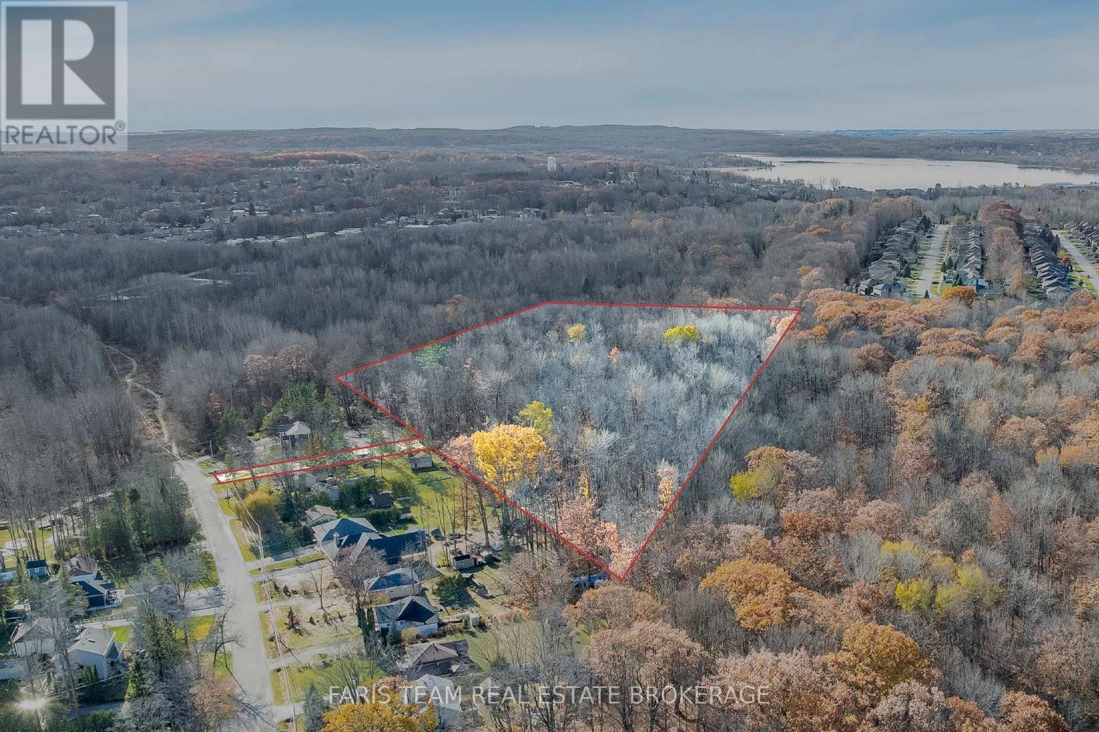
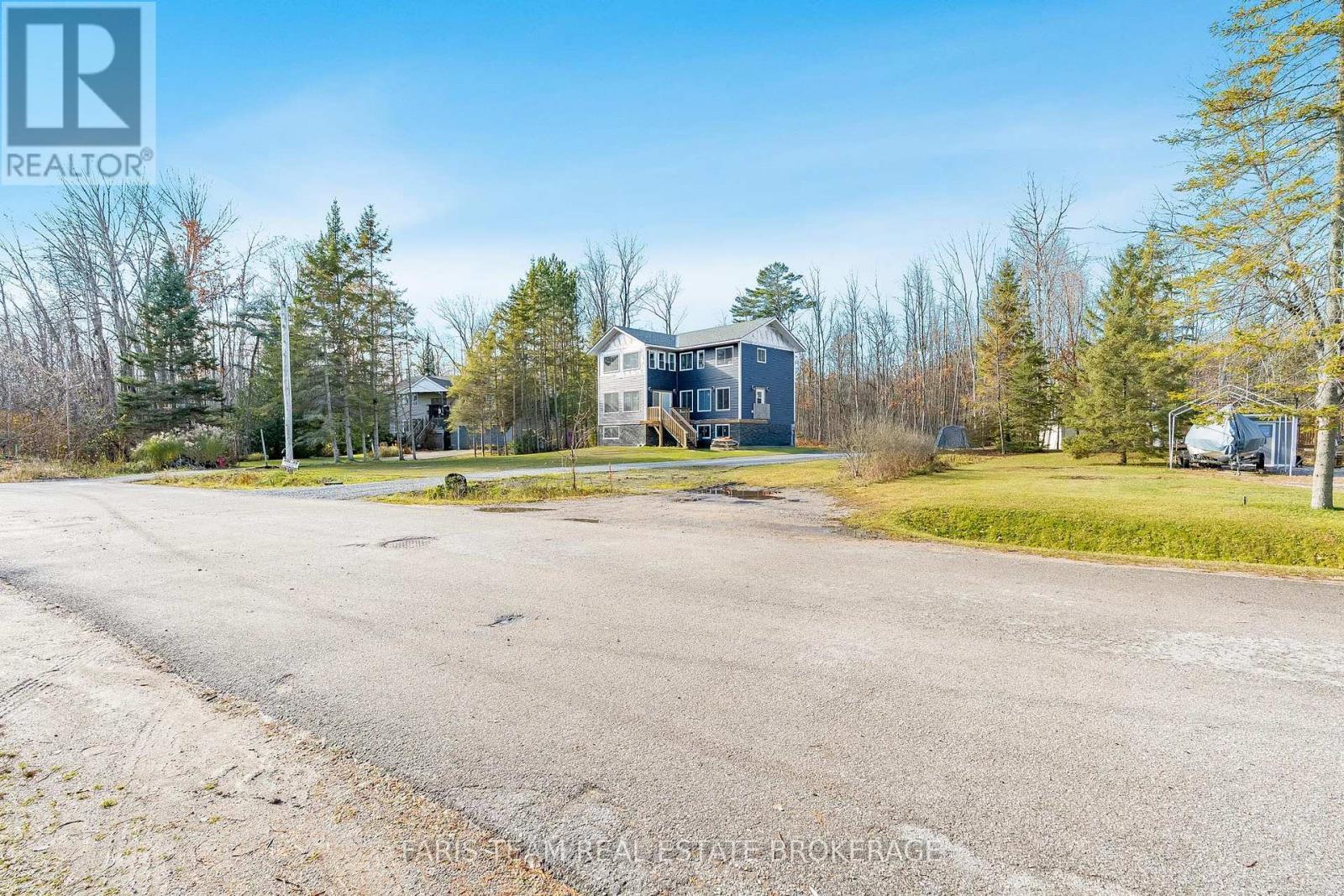
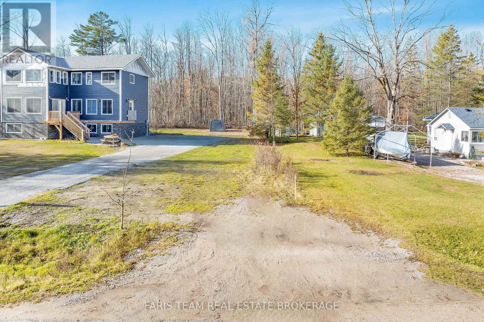
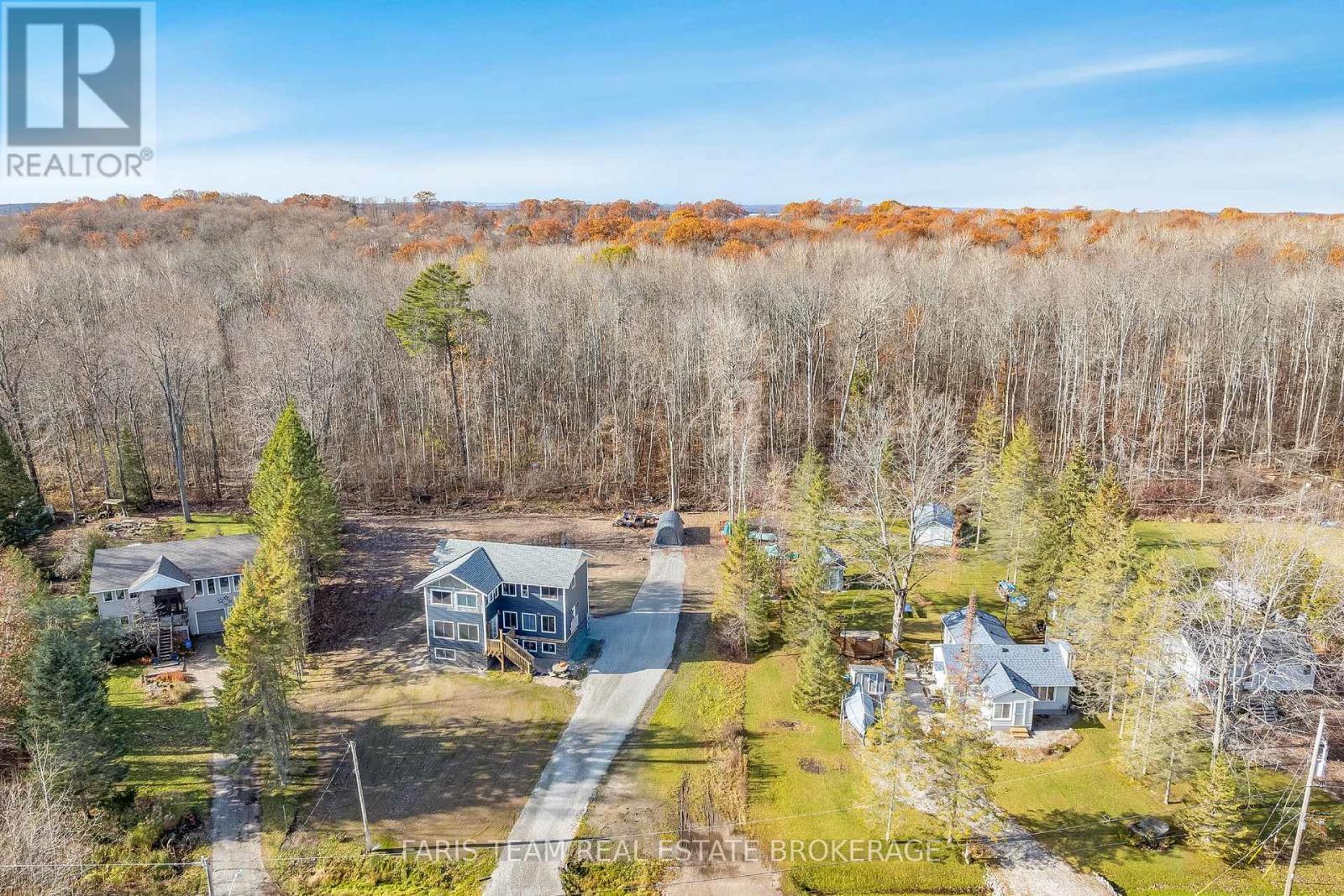
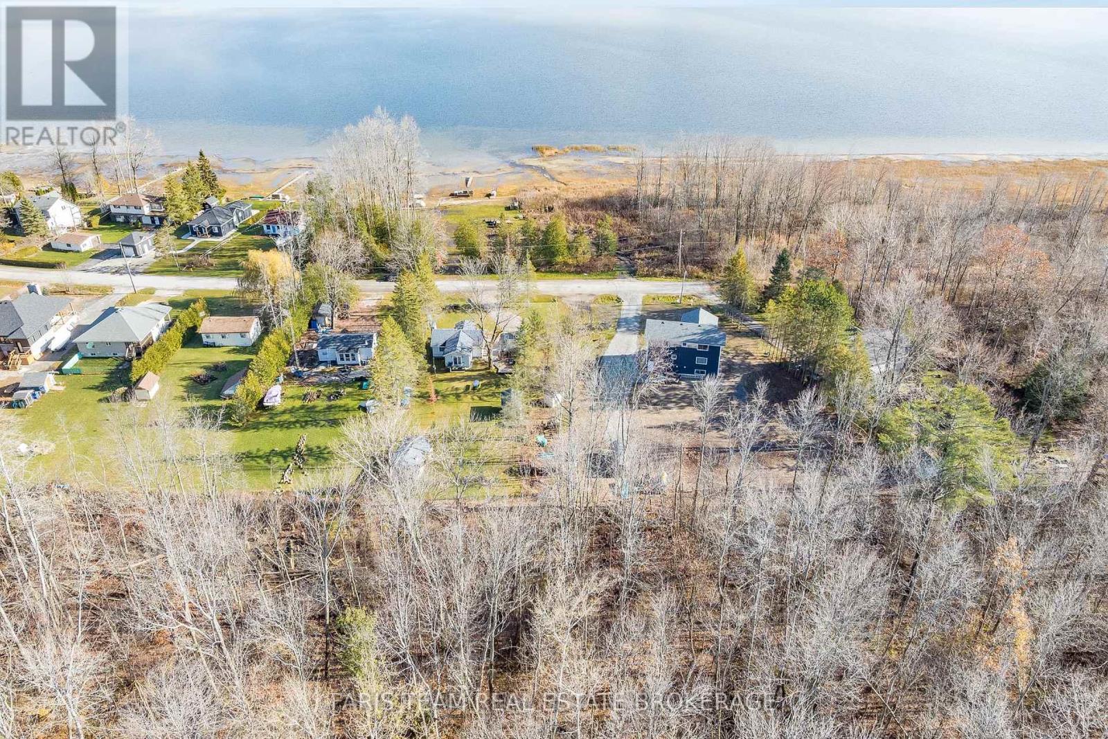
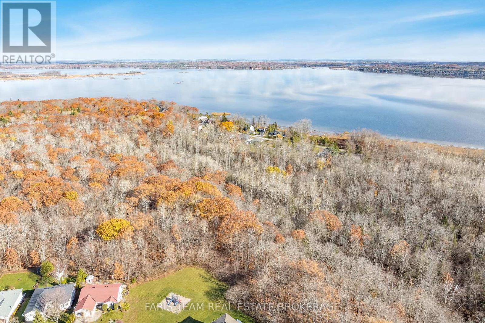
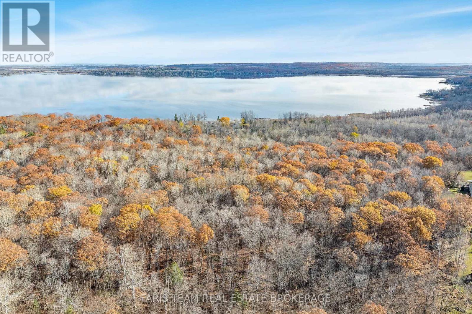
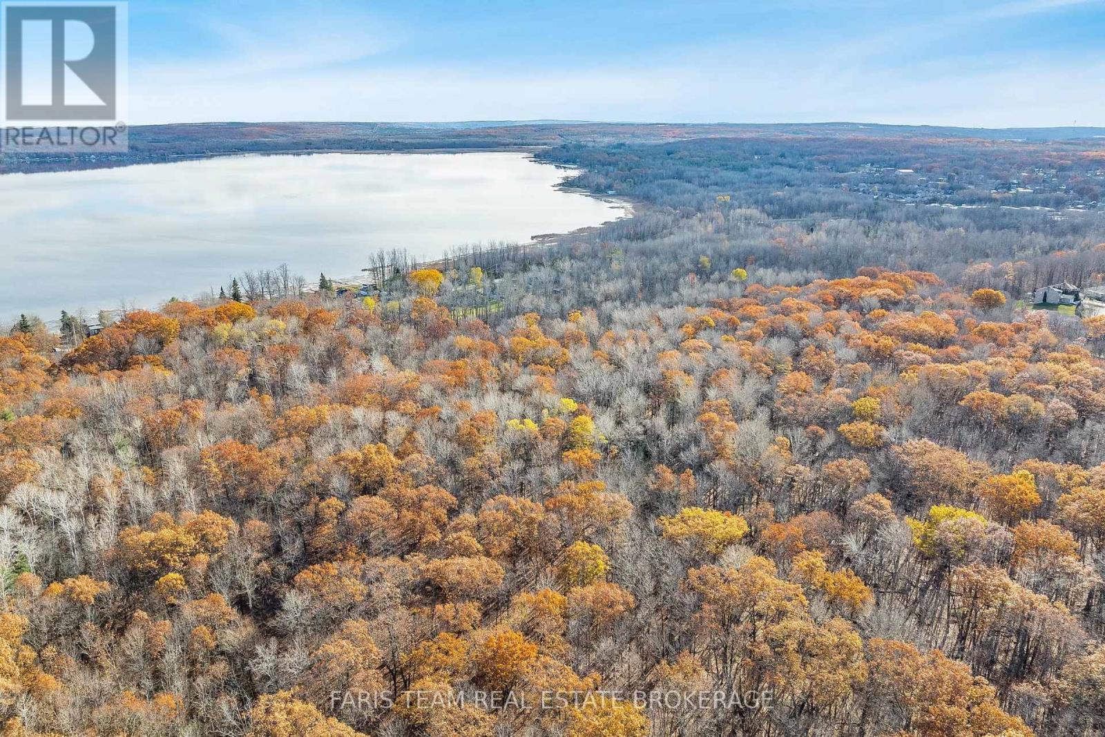
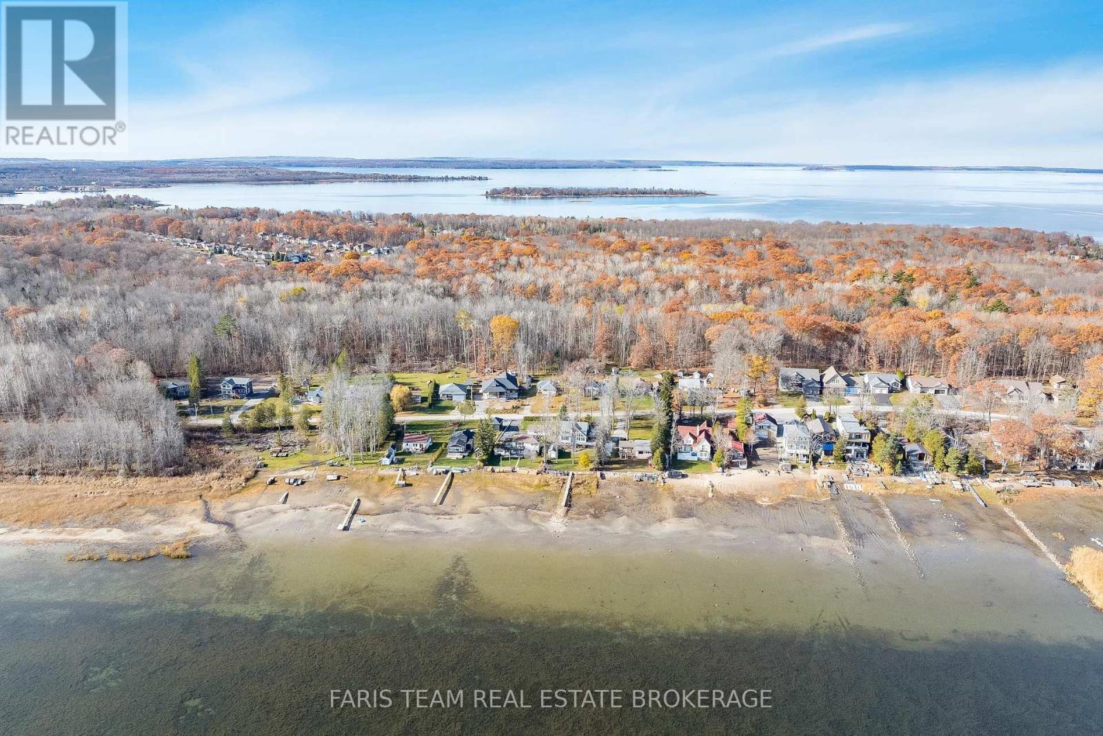
Vacant Land For Sale In Tay, Ontario
$399,900

None Beds

433 Robins Point Road, Tay, ON
Video
433 Robins Point Road, Tay, ON
  • Advertising
433 ROBINS POINT ROAD, Tay, Ontario, L0K 2A0
$399,900

Property Information:

Top 5 Reasons You Will Love This Property: 1) Experience over 9-acres of land offering endless possibilities, whether you envision a private estate, recreational retreat, or a long-term investment opportunity 2) Enjoy stunning water views and quick access to Georgian Bay, giving you the perfect launch point for boating, swimming, and all your favourite outdoor activities just minutes from home 3) Benefit from municipal water and sewer available at the street, providing a strong foundation for future development and simplifying your planning and servicing needs 4) Ideally located near Highway 400 and Highway 12, this property delivers exceptional convenience for commuting, shopping, and exploring encircling communities while still delivering peaceful, spacious surroundings 5) Rare chance to secure a large parcel with water views, nearby municipal services, and exceptional development potential, all at a price that makes sense for both lifestyle buyers and investors. (id:27)

Property Features:

  • Property Type: Vacant Land
  • Amenities Nearby: Marina
  • Features: Level lot, Irregular lot size
  • Irregular: Yes
  • Lot Frontage: 40.0 Feet
  • Lot Size: 40 FT
  • Utility Type: Cable - Available, Hydro - Available, Sewer - Available
  • View Type: View, Lake view
  • Zoning: R3-H
  • Sewer: Sanitary sewer

Courtesy of: FARIS TEAM REAL ESTATE BROKERAGE, Faris Team Real Estate Brokerage

REALTOR.ca  

Access to Sold Data on this website may only be used by consumers that have a bona fide interest in the purchase, sale, or lease of residential real estate.

Sales/Price History

Log in or create an account to see sold and historical listings information

Location of 433 ROBINS POINT ROAD, Tay, Ontario, L0K 2A0

Climate Risk Data

About Climate Risk: Properties are at increased risk of damage from extreme weather due to climate change.
ClimateCheck provides detailed climate risk data for properties now and up to 30 years into the future.

Projected Heat Risk: Moderate

31 hot days expected in 2050

Projected Precipitation Risk: Moderate-High

14 storms expected in 2050

Projected Heat Risk: Moderate

31 hot days expected in 2050

45/100

Moderate

ClimateCheck®

Current data

This property, 433 ROBINS POINT ROAD , experiences 7 hot days per year at around 30.4 degrees Celsius.

Projected data

Severe heat risk is expected to increase in this area. In 2050, it is projected that there will be 31 hot days at 33.9 degrees Celsius.

Projected Avg. Temperature

Past
30.4℃
2050
33.9℃

# Hot Days Per Year

Past
7
2050
31

About Heat Risk

Heat risk is the number of extreme heat days experienced each year looking at historical conditions (1980-2005) in your area and taking the 2% of the hottest days and projecting that into the future.

Projected Precipitation Risk: Moderate-High

14 storms expected in 2050

66/100

Moderate-High

ClimateCheck®

Current data

This property, 433 ROBINS POINT ROAD , experiences 11 significant 2-day storms per year, with about 321.8mm of precipitation per storm.

Projected data

Severe storms are expected to increase in this area. In 2050, it is projected that there will be 14 significant 2-day storms with 410.5mm of precipitation per year.

Precipitation Per Storm

Past
321.8mm
2050
410.5mm

48-Hour Storms Per Year

Past
11
2050
14

About Storm Risk

Storm risk is the number of high wind, wet or snowy events each year. Climate check looks at historical conditions (1980-2005) in your area, on the days with the top 1% of total precipitation in a year and projected to 2050.

Climate risk data is provided for informational purposes only on Royallepage.ca.
If you have questions or feedback about this data, get help at climatecheck.com.

Environmental Risks provided by ClimateCheck®

Royal LePage does not endorse nor guarantee this information. By providing this information, Royal LePage and its agents are not providing advice or guidance on climate risks. Royal LePage strongly recommends that consumers independently investigate the property’s climate risks to their own personal satisfaction.

Demographic Information of 433 ROBINS POINT ROAD, Tay, Ontario, L0K 2A0

Life Stage

Midlife Families

Employment Type

Mixed

Average Household Income

$111,600.00

Average Number of Children

1.60

Household Population

Household Structure

Age of Population

Education

Education Level

No certificate/diploma/degree

18.92 %

High school certificate or equivalent

31.28 %

Apprenticeship trade certificate/diploma

7.73 %

College/non-university certificate

28.96 %

University certificate (below bachelor)

2.31 %

University Degree

10.81 %

Commuter

Travel To Work

By Car

94.23 %

By Public Transit

0.0 %

By Walking

3.85 %

By Bicycle

0.0 %

By Other Methods

1.92 %

Cultural Diversity

Knowledge of Official Language

Mother Tongue

Building Information

Building Type

Apartments (Low and High Rise)

Houses

100.0 %

Own Vs. Rent