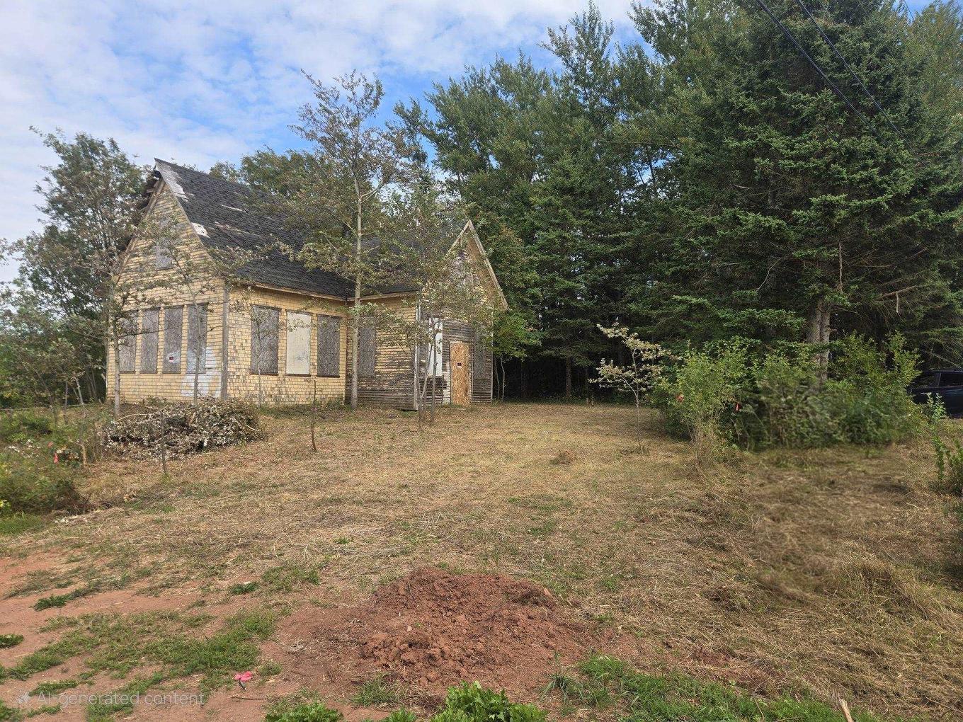
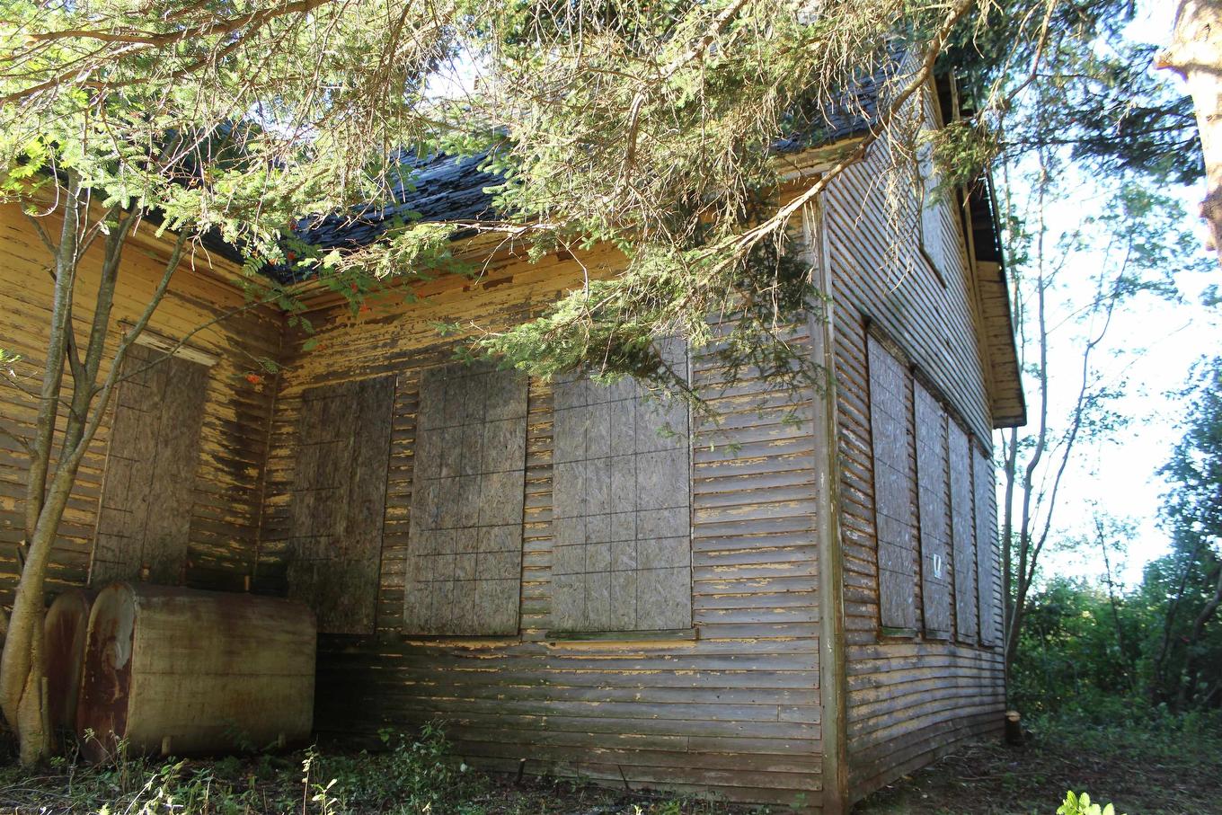
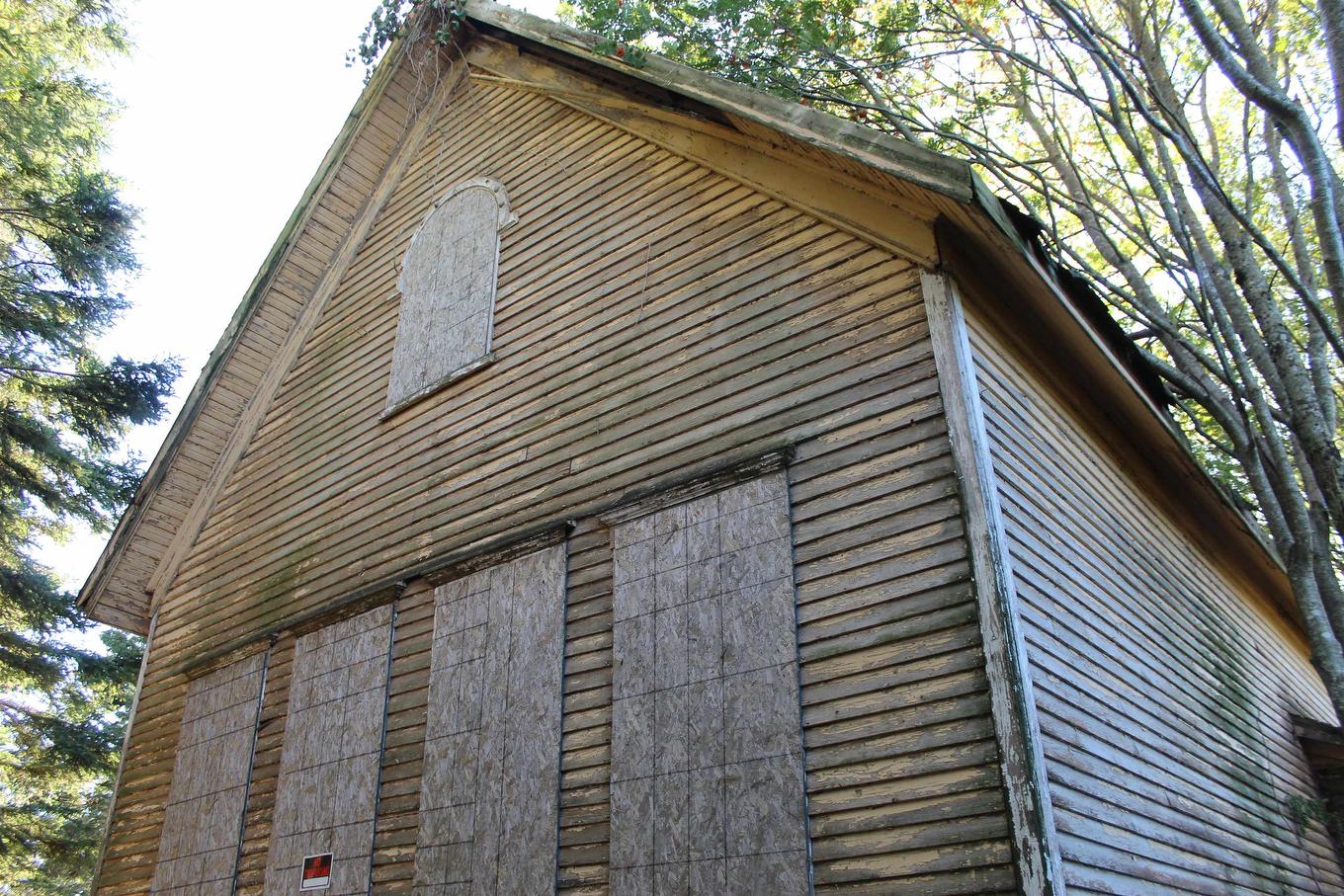
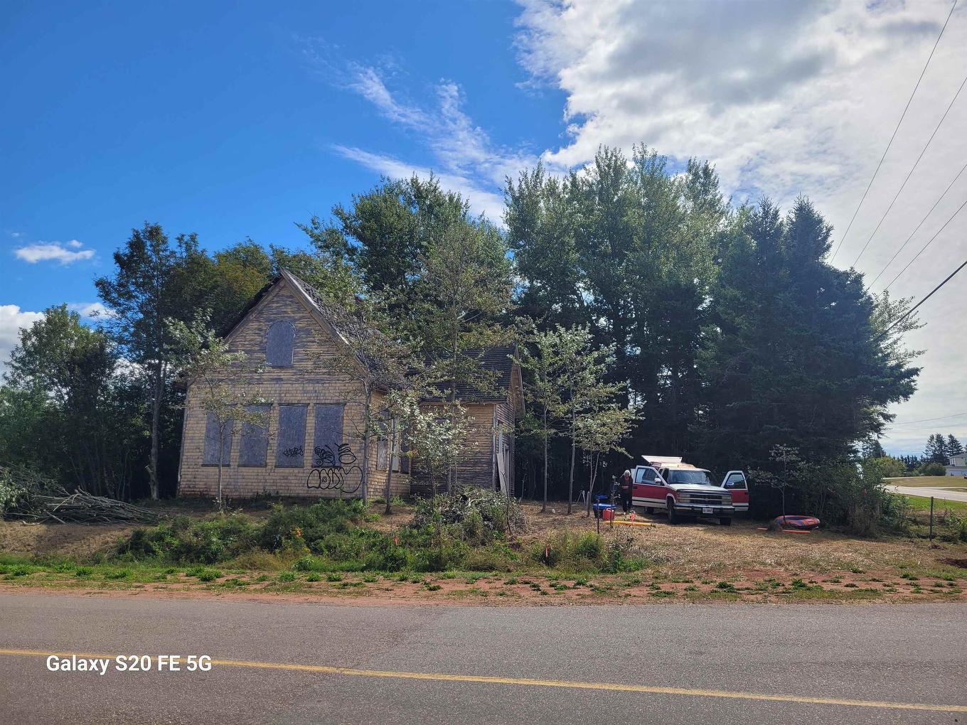
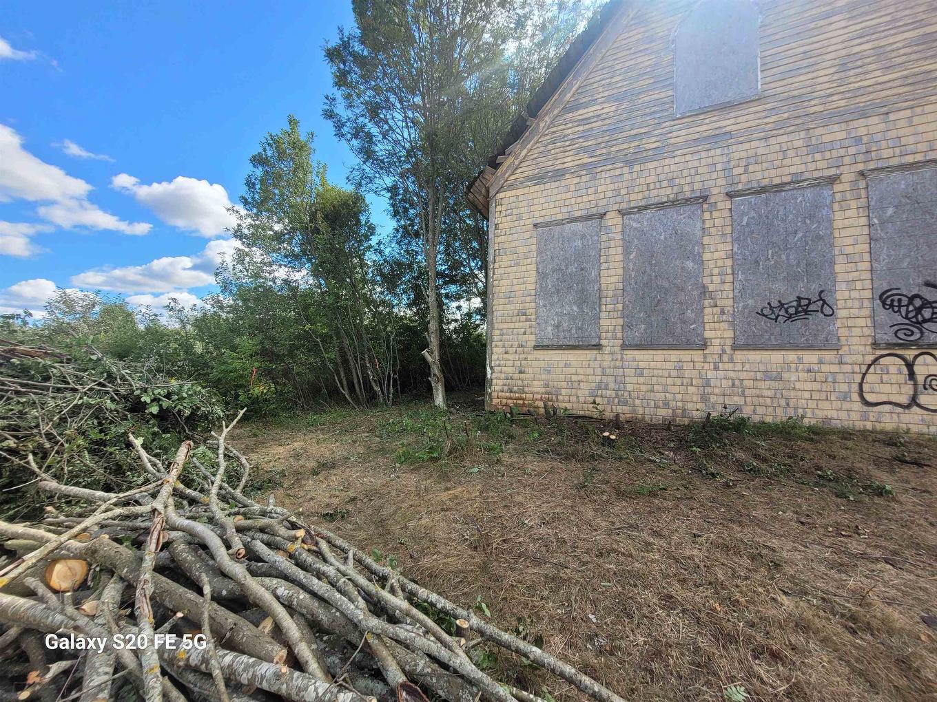
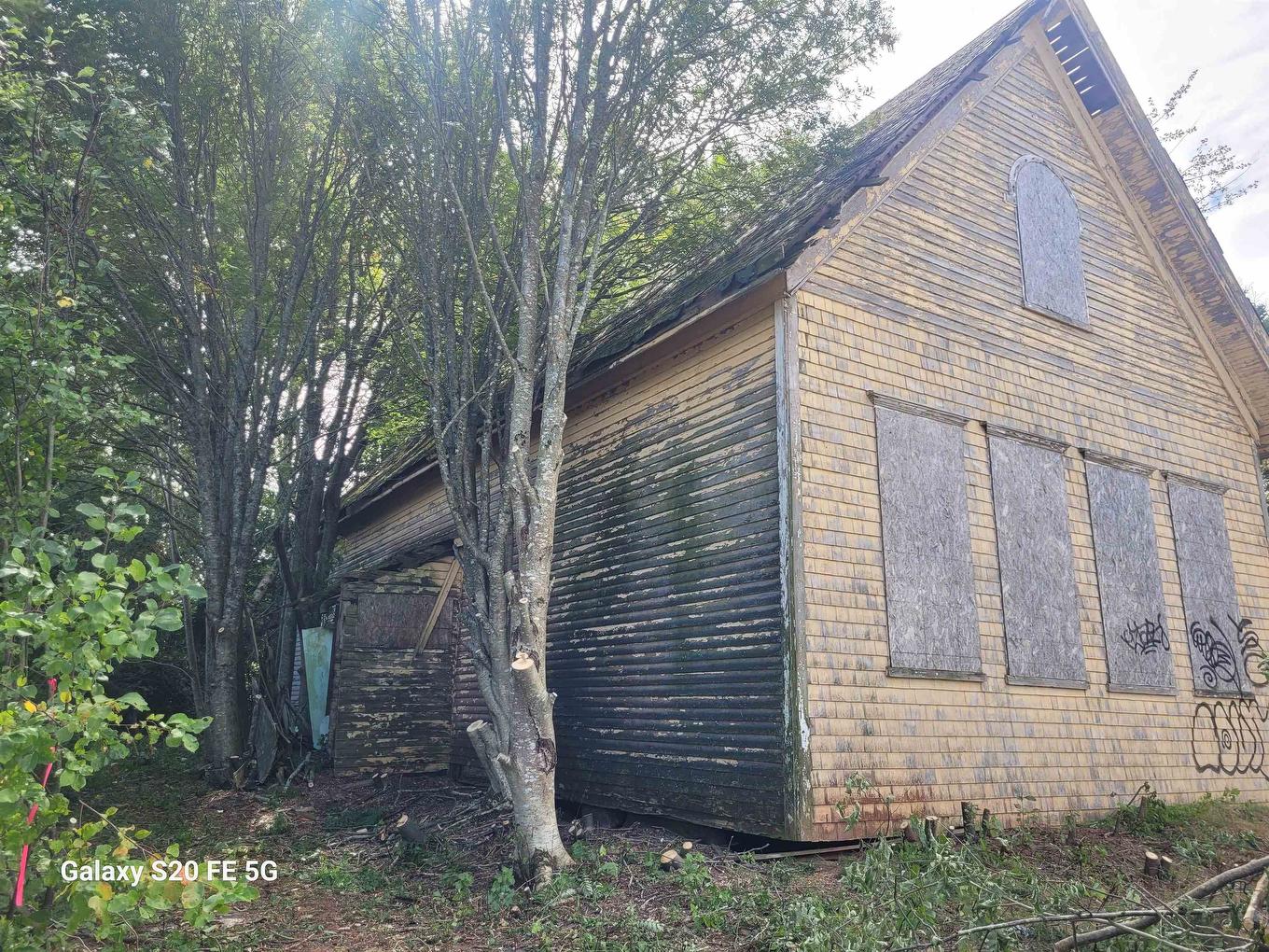
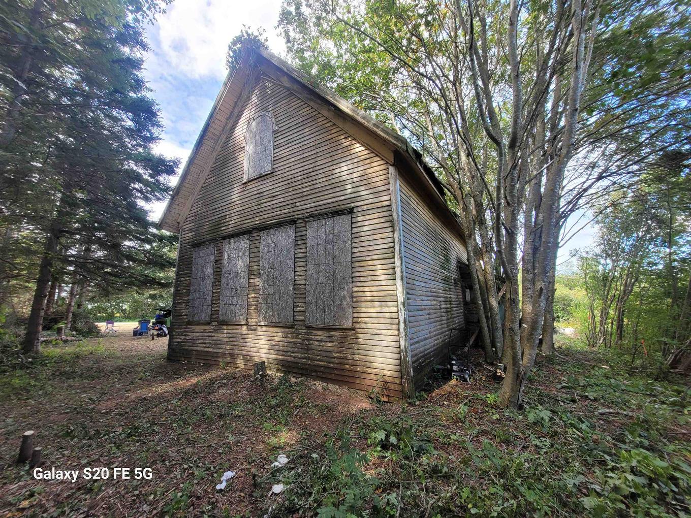
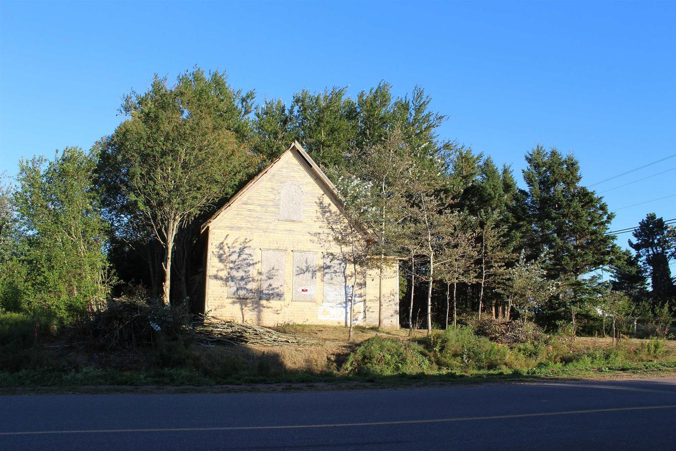
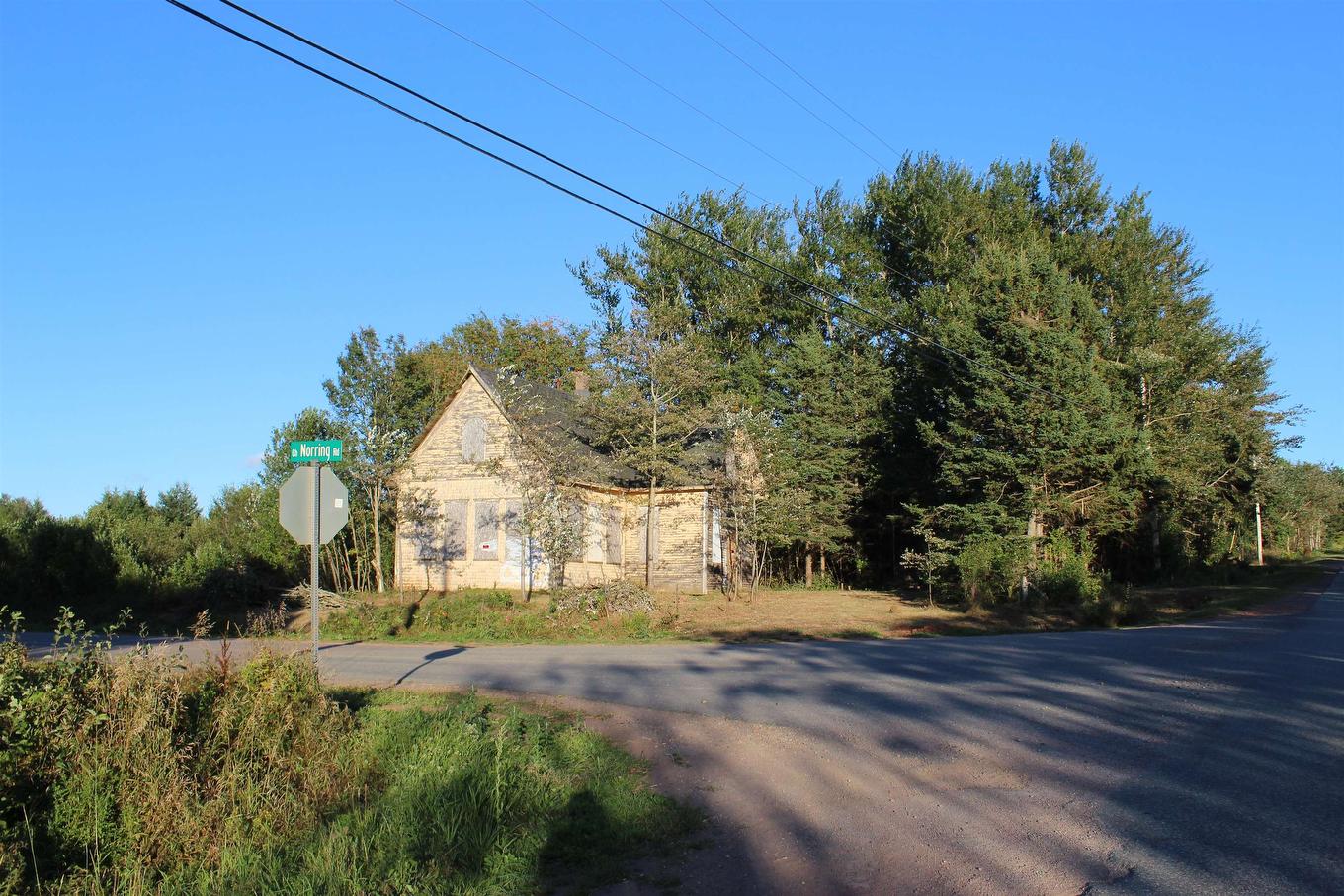
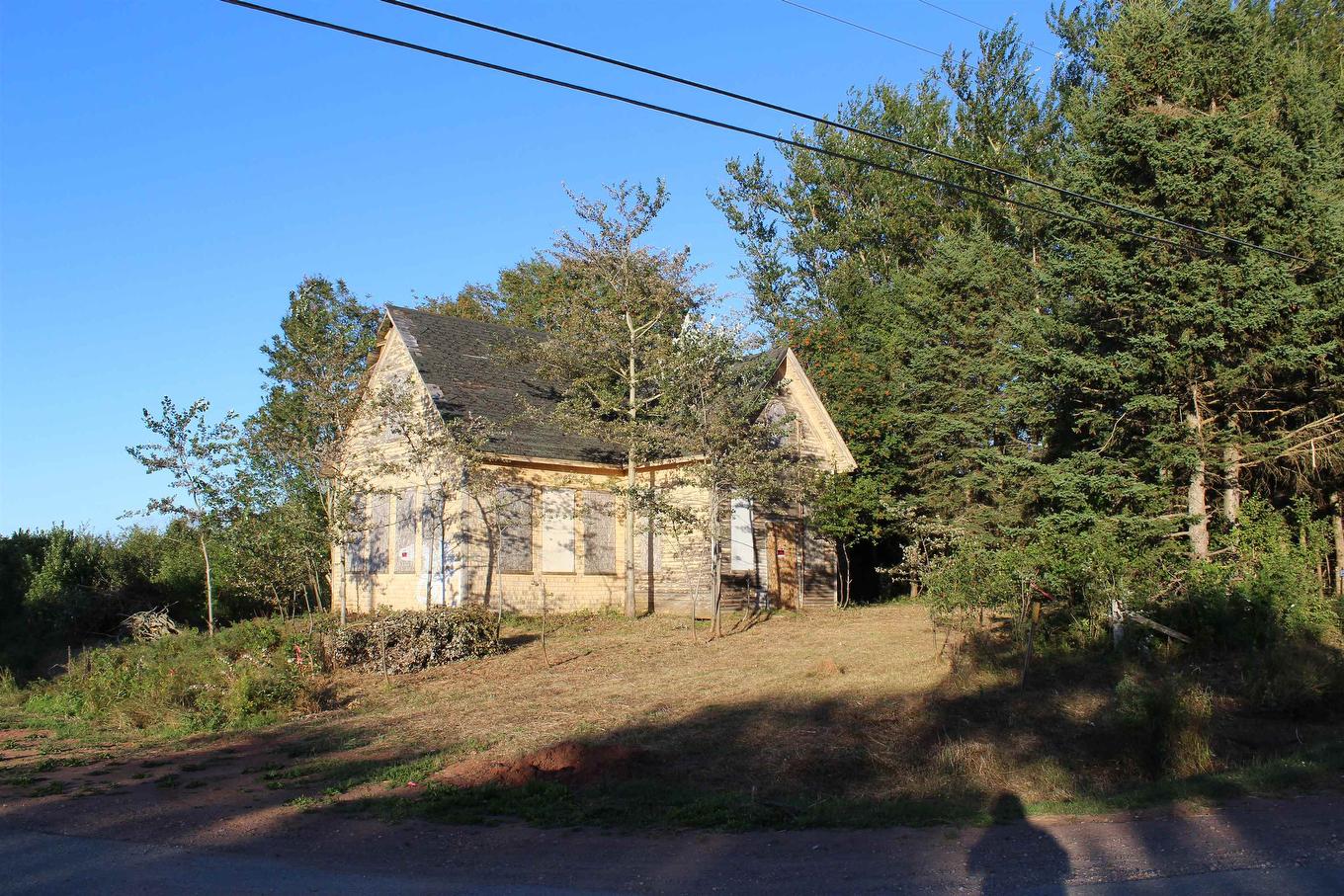
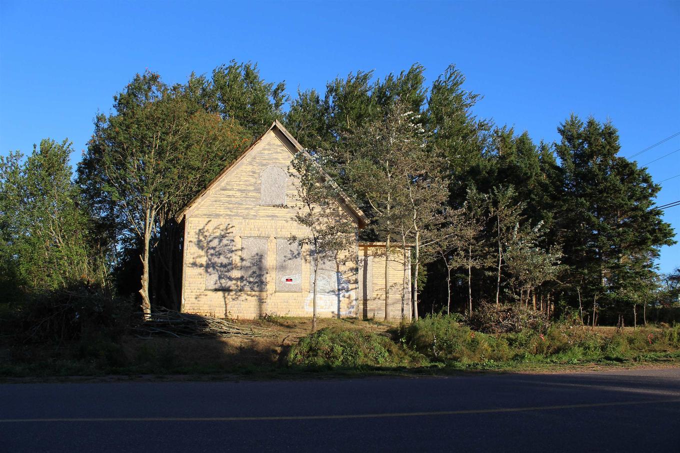
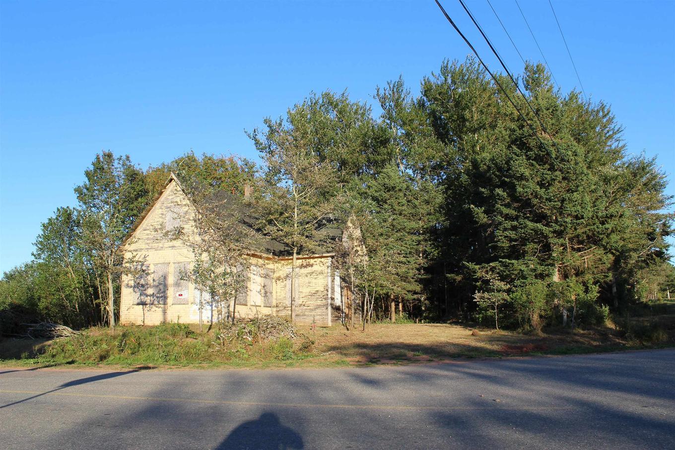
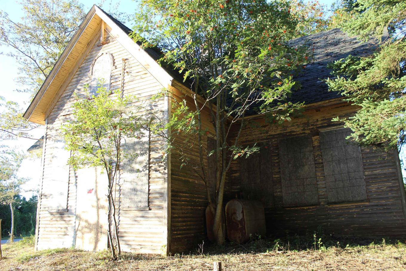
Vacant Land For Sale In Cape Traverse, Prince Edward Island
$45,000None Beds
-
Details
-
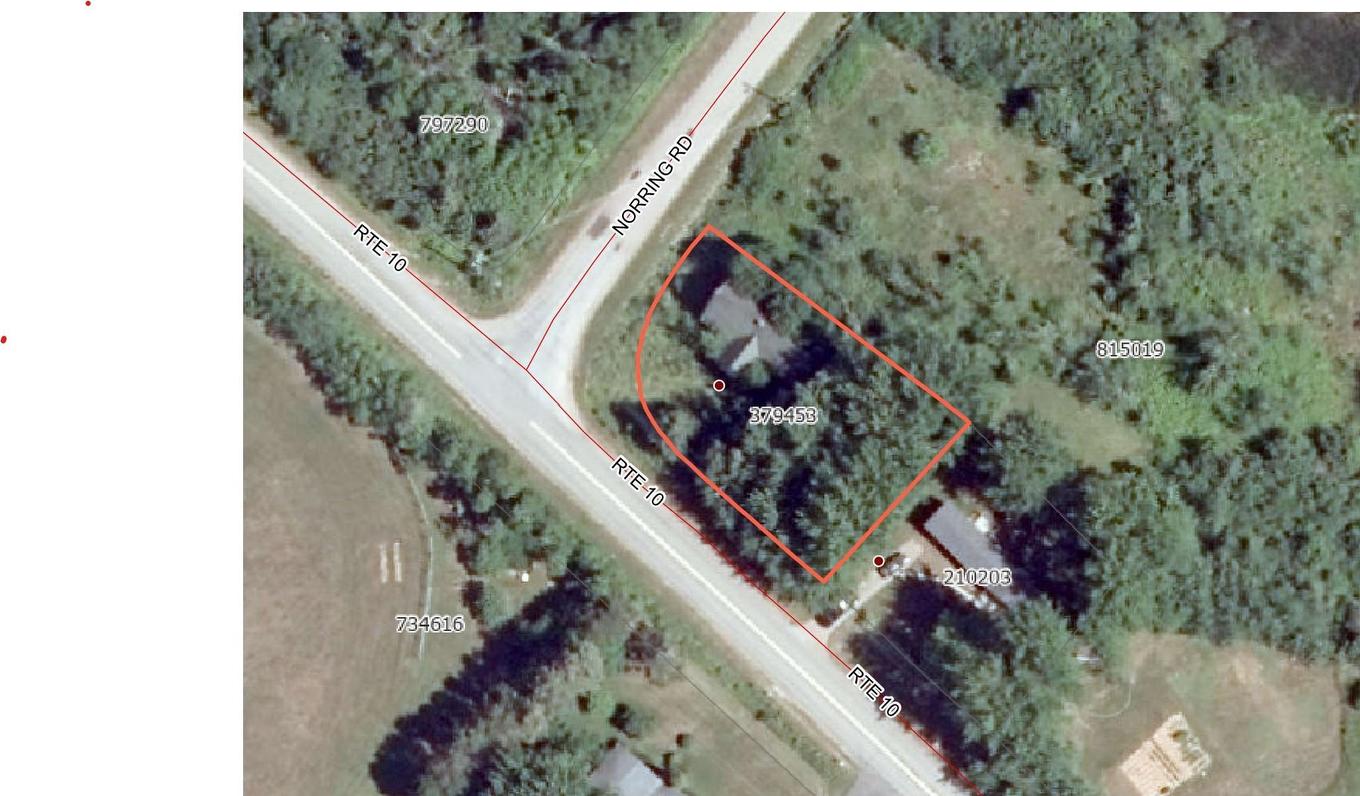
Map
-
Demographics
-
Street View
-
Get Directions


-
Advertising