Button CopyPathCircle CloseCircle Left ArrowArrow Down Icon GreyClosecirclecircleBurger
  • Advertising

4850 HWY 47, Uxbridge, Ontario, L9P 1R4

MLS® # N12535208
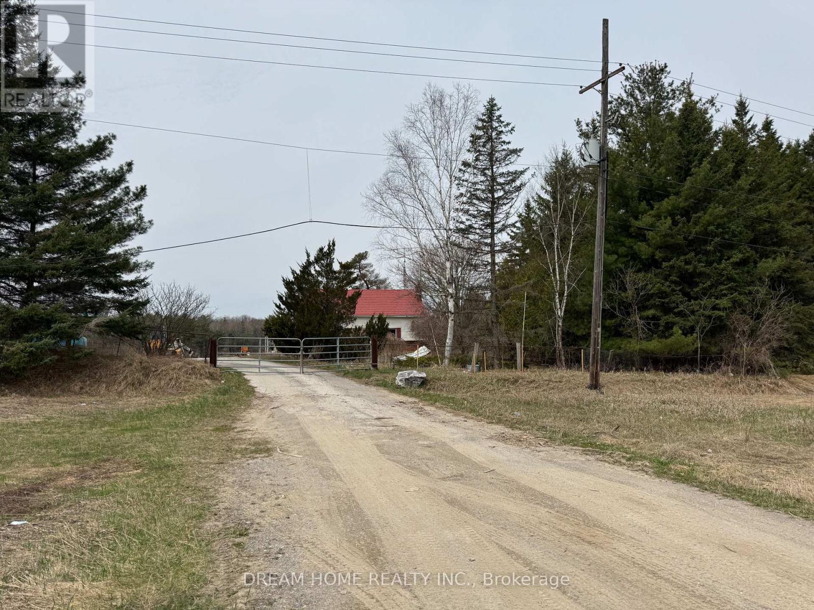
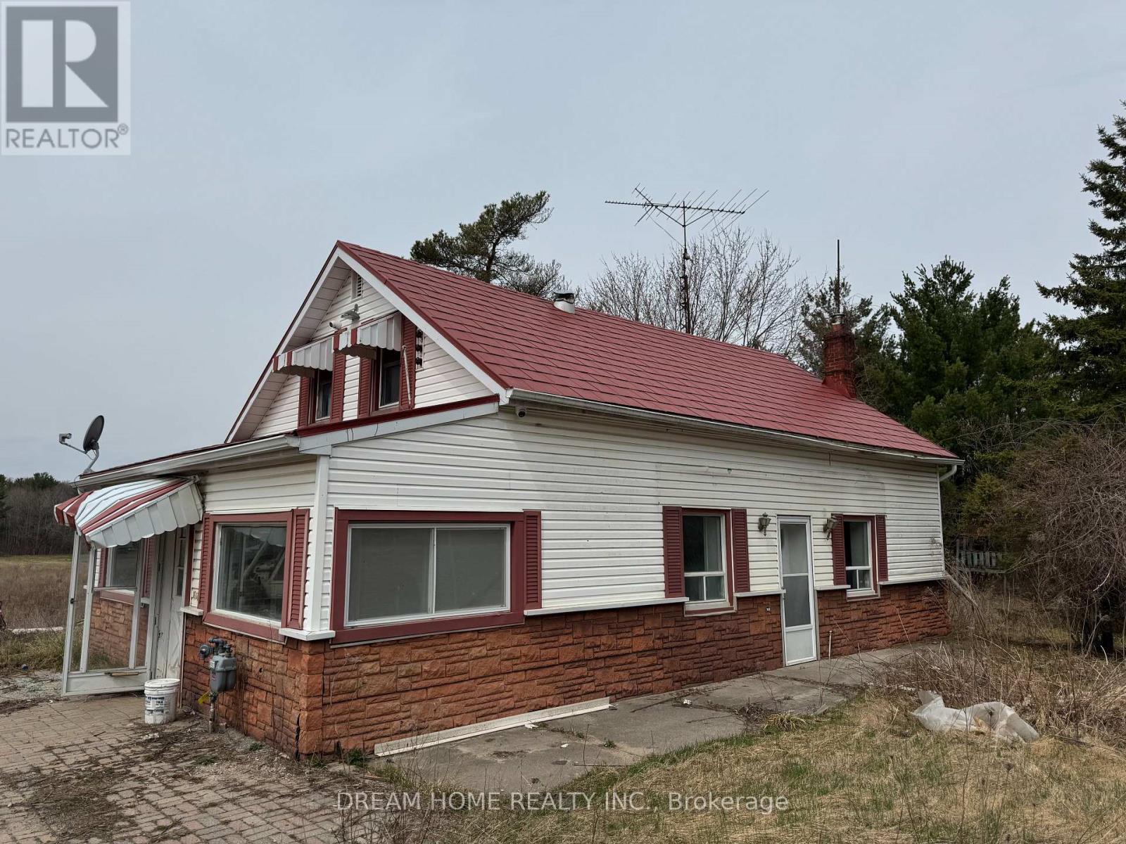
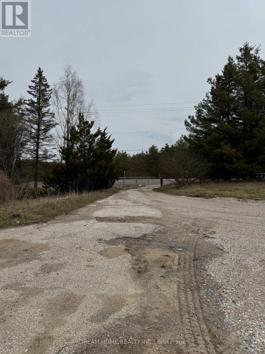
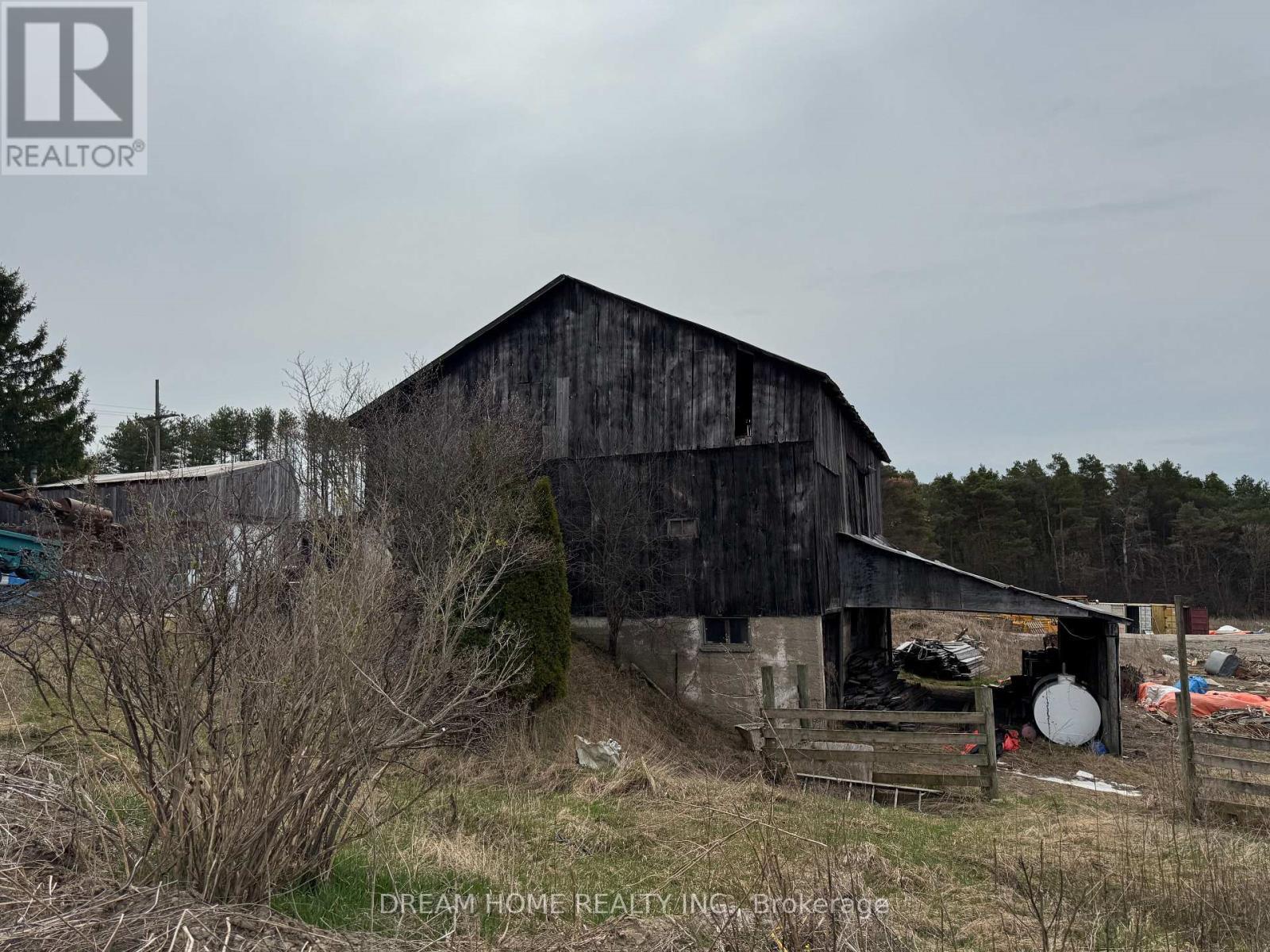
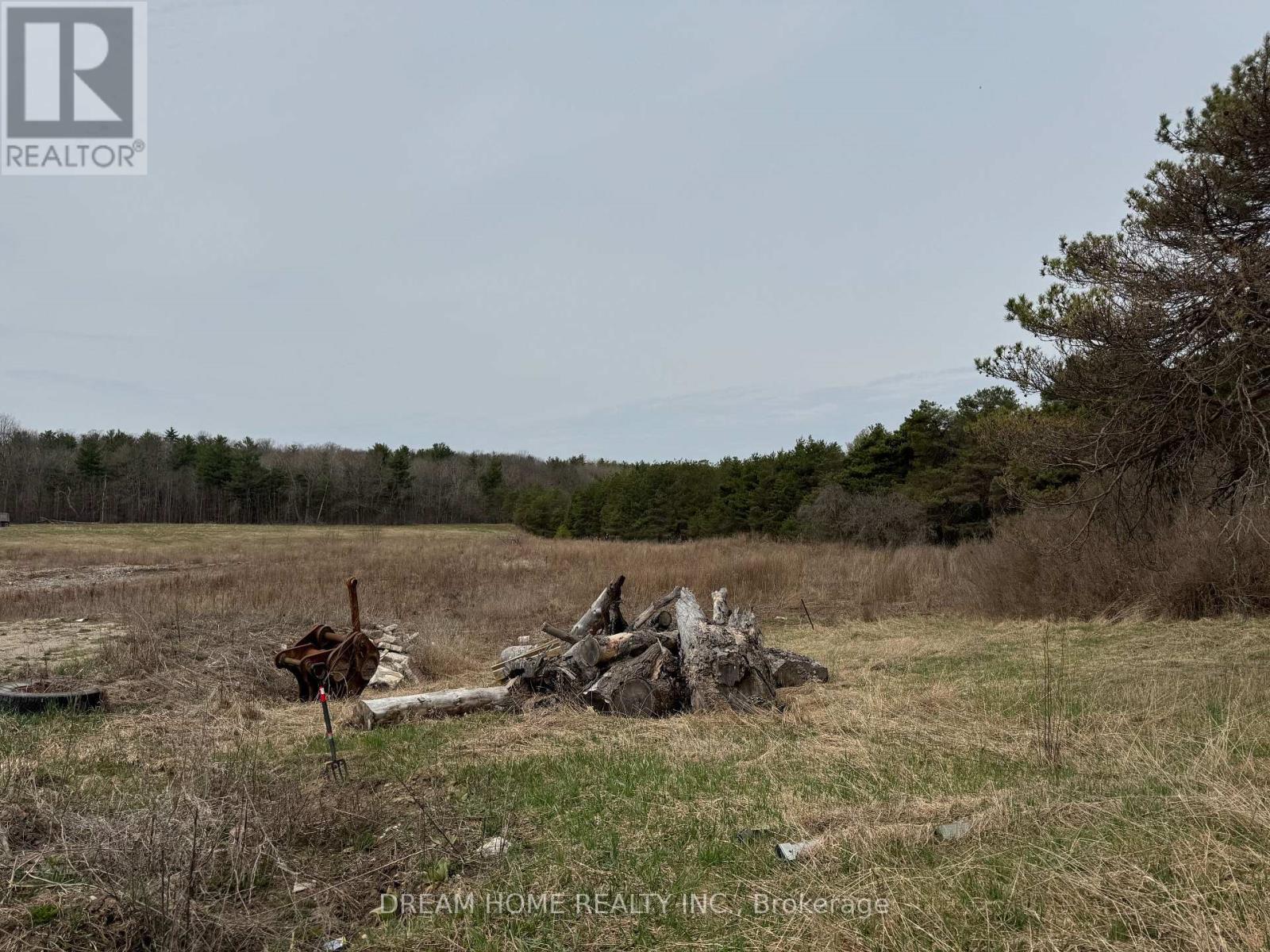
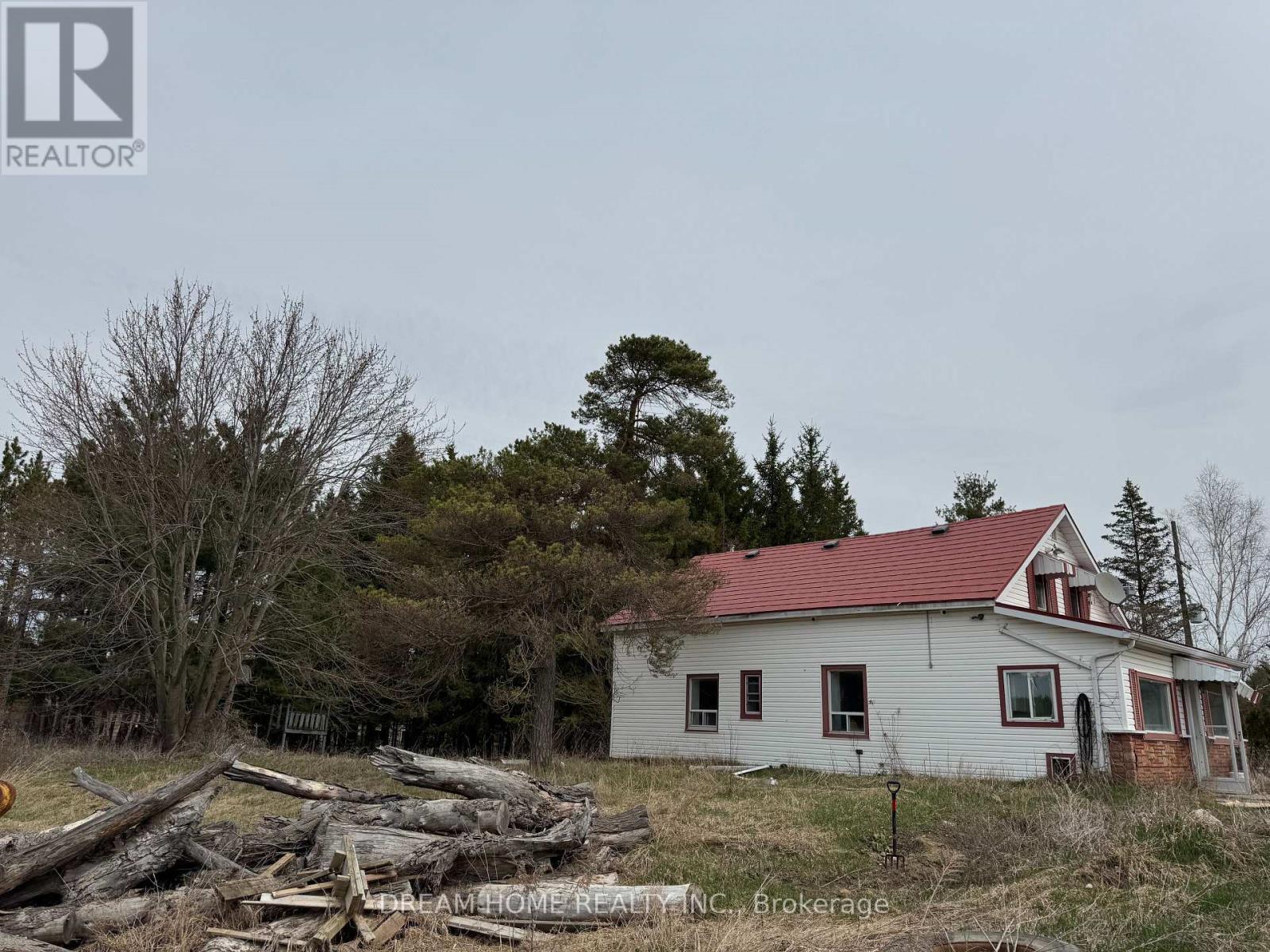
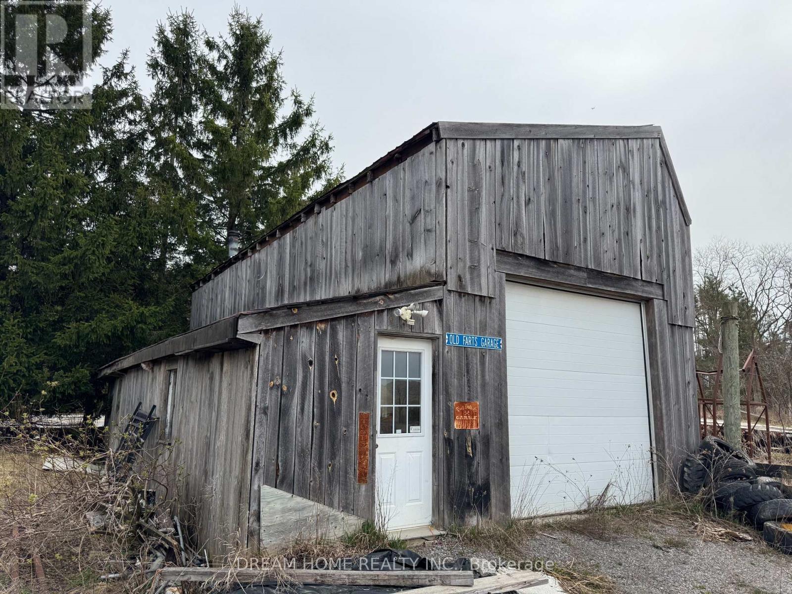
House For Sale In Uxbridge, Ontario
$1,200,000 QuickQuoteTM: $1.2M - $1.4M

2 Beds

1 Bath

4850 Hwy 47, Uxbridge, ON - Outdoor With View
4850 Hwy 47, Uxbridge, ON - Outdoor
4850 Hwy 47, Uxbridge, ON - Outdoor With View
4850 Hwy 47, Uxbridge, ON - Outdoor
4850 Hwy 47, Uxbridge, ON - Outdoor With View
4850 Hwy 47, Uxbridge, ON - Outdoor
4850 Hwy 47, Uxbridge, ON  - Outdoor With View
4850 Hwy 47, Uxbridge, ON  - Outdoor
4850 Hwy 47, Uxbridge, ON  - Outdoor With View
4850 Hwy 47, Uxbridge, ON  - Outdoor
4850 Hwy 47, Uxbridge, ON - Outdoor With View
4850 Hwy 47, Uxbridge, ON - Outdoor
  • Advertising
Are you a real estate investor?
4850 HWY 47, Uxbridge, Ontario, L9P 1R4
$1,200,000

2 Beds

1 Bath

Property Information:

**Location Location**Excellent Opportunity To Own A Picturesque 12 acre Property, With A 2 Bedroom Country Home, Detached Garage. Conveniently located close to Stouffville, Uxbridge, the 407/404 highways, supermarkets, and more, this property offers both comfort and accessibility. property title merged with 4910 hwy 47 @MLS -- N12535226 ** MUST SELL TOGETHER BY-LAW** (id:27)

Building Features:

  • Style: Detached
  • Building Type: House
  • Basement Development: Unfinished
  • Basement Type: N/A
  • Construction Style - Attachment: Detached
  • Exterior Finish: Vinyl siding
  • Floor Space: 1100 - 1500 sqft
  • Foundation Type: Unknown
  • Heating Type: Forced air
  • Heating Fuel: Oil
  • Cooling Type: Central air conditioning

Property Features:

  • OwnershipType: Freehold
  • Property Type: Single Family
  • Bedrooms: 2
  • Bathrooms: 1
  • Amenities Nearby: Hospital
  • Community Features: School Bus
  • Features: Rolling
  • Floor Space (approx): 1100 - 1500 Square Feet
  • Irregular: Yes
  • Lot Depth: 926.0 Feet
  • Lot Frontage: 606.5 Feet
  • Lot Size: 606.5 x 926 FT ; 217.85Ftx12.01Ftx116.16Ftx12.01Ftx646.49
  • Sewer: Septic System
  • Parking Type: Detached garage, Garage
  • No. of Parking Spaces: 16

Rooms:

  • Bedroom 2nd Level 3.81 m x 3.81 m
  • 2nd Bedroom 2nd Level 4.14 m x 5.74 m
  • Kitchen Ground Level 3.05 m x 4.17 m
  • Living Ground Level 3.89 m x 4.15 m
  • Dining Ground Level 2.59 m x 4.17 m
  • Den Ground Level 2.13 m x 3.25 m

Convert Measurement to:

Courtesy of: DREAM HOME REALTY INC.

REALTOR.ca  

QuickQuoteTM Powered by RPS

Location of 4850 HWY 47, Uxbridge, Ontario, L9P 1R4

Climate Risk Data

About Climate Risk: Properties are at increased risk of damage from extreme weather due to climate change.
ClimateCheck provides detailed climate risk data for properties now and up to 30 years into the future.

Projected Heat Risk: Moderate

32 hot days expected in 2050

Projected Precipitation Risk: Moderate

13 storms expected in 2050

Projected Heat Risk: Moderate

32 hot days expected in 2050

46/100

Moderate

ClimateCheck®

Current data

This property, 4850 HWY 47 , experiences 7 hot days per year at around 30.4 degrees Celsius.

Projected data

Severe heat risk is expected to increase in this area. In 2050, it is projected that there will be 32 hot days at 33.9 degrees Celsius.

Projected Avg. Temperature

Past
30.4℃
2050
33.9℃

# Hot Days Per Year

Past
7
2050
32

About Heat Risk

Heat risk is the number of extreme heat days experienced each year looking at historical conditions (1980-2005) in your area and taking the 2% of the hottest days and projecting that into the future.

Projected Precipitation Risk: Moderate

13 storms expected in 2050

57/100

Moderate

ClimateCheck®

Current data

This property, 4850 HWY 47 , experiences 11 significant 2-day storms per year, with about 296.9mm of precipitation per storm.

Projected data

Severe storms are expected to increase in this area. In 2050, it is projected that there will be 13 significant 2-day storms with 367.1mm of precipitation per year.

Precipitation Per Storm

Past
296.9mm
2050
367.1mm

48-Hour Storms Per Year

Past
11
2050
13

About Storm Risk

Storm risk is the number of high wind, wet or snowy events each year. Climate check looks at historical conditions (1980-2005) in your area, on the days with the top 1% of total precipitation in a year and projected to 2050.

Climate risk data is provided for informational purposes only on Royallepage.ca.
If you have questions or feedback about this data, get help at climatecheck.com.

Environmental Risks provided by ClimateCheck®

Royal LePage does not endorse nor guarantee this information. By providing this information, Royal LePage and its agents are not providing advice or guidance on climate risks. Royal LePage strongly recommends that consumers independently investigate the property’s climate risks to their own personal satisfaction.

Demographic Information of 4850 HWY 47, Uxbridge, Ontario, L9P 1R4

Life Stage

Middle-Aged with Teens

Employment Type

Mixed

Average Household Income

$252,714.93

Average Number of Children

1.87

Household Population

Household Structure

Age of Population

Education

Education Level

No certificate/diploma/degree

11.98 %

High school certificate or equivalent

25.17 %

Apprenticeship trade certificate/diploma

5.39 %

College/non-university certificate

18.65 %

University certificate (below bachelor)

1.06 %

University Degree

37.75 %

Commuter

Travel To Work

By Car

95.01 %

By Public Transit

0.0 %

By Walking

2.22 %

By Bicycle

0.0 %

By Other Methods

2.77 %

Cultural Diversity

Knowledge of Official Language

Mother Tongue

Building Information

Building Type

Apartments (Low and High Rise)

Houses

100.0 %

Own Vs. Rent