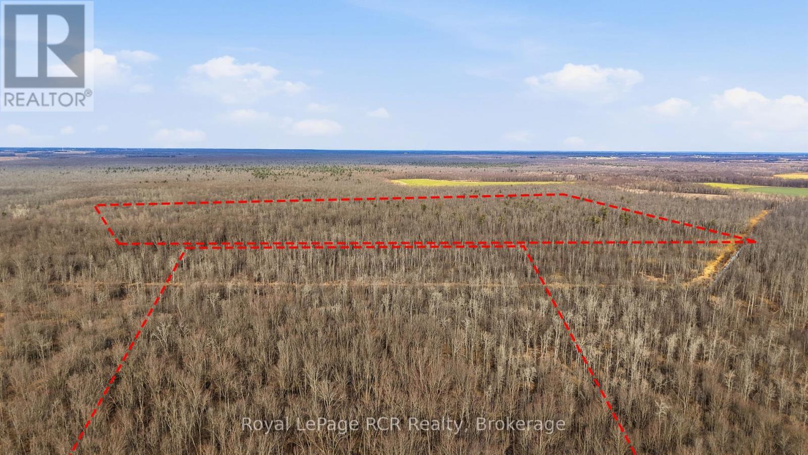
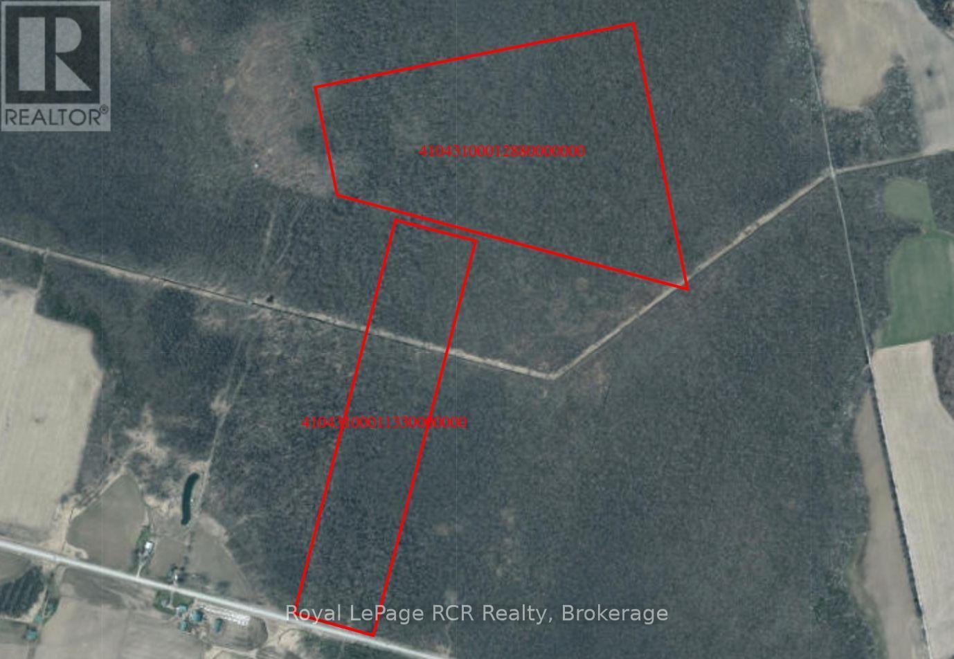
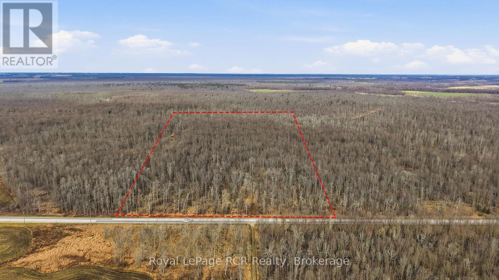
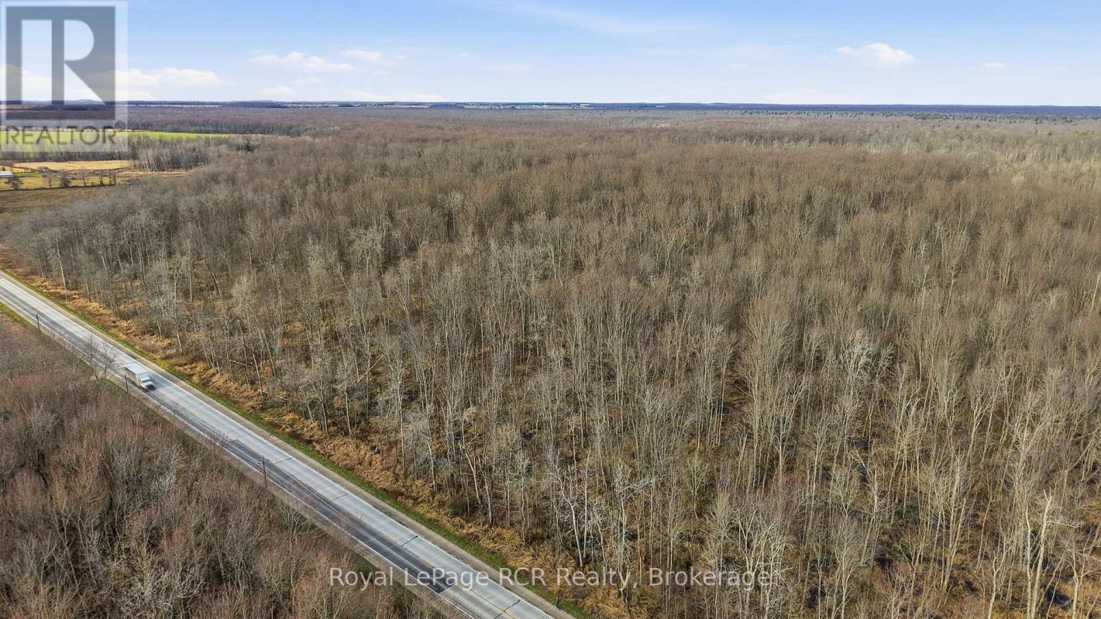
Button CopyPathCircle CloseCircle Left ArrowArrow Down Icon GreyClosecirclecircleBurger

LT 15 & LT 27-28 9 HIGHWAY, Brockton, Ontario, N0G 2B0

MLS® # X12588072
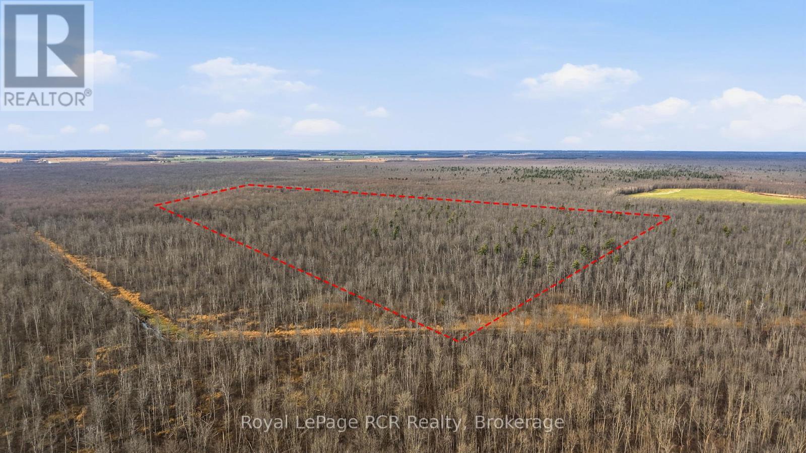
Vacant Land For Sale In Brockton, Ontario
$400,000

None Beds

Approximate boundary lines of both parcels - Lt 15 & Lt 27-28 9 Highway, Brockton, ON
Approximate boundary lines - Lt 15 & Lt 27-28 9 Highway, Brockton, ON
Approximate boundary lines of LT 15 CON 1 - Lt 15 & Lt 27-28 9 Highway, Brockton, ON
View of Highway and Bush facing NNW. - Lt 15 & Lt 27-28 9 Highway, Brockton, ON
Approximate boundary lines of LT 27-28 CON 2 - Lt 15 & Lt 27-28 9 Highway, Brockton, ON
  • Advertising
LT 15 & LT 27-28 9 HIGHWAY, Brockton, Ontario, N0G 2B0
$400,000

Property Information:

What an opportunity to own a 144 acre recreational bush lot within the significant Greenock Swamp. **(Please be mindful that this week, Dec.1-7 is Muzzleloader season for deer. Be very cautious and wear blaze orange if you plan to look at property.) Known for its great biodiversity and premier hunting opportunities, this is a nice large parcel of bush property. Perfect for a group or family looking for their own private natural retreat. The property is characterized by a variety of softwood trees and is zoned EP-1. Property is identifiable with reflective orange ribbon marking the approximate front corners of LT 15. This property is accessible on Highway 9. Secure your stake in a large bush lot today! (id:7525)

Property Features:

  • Property Type: Vacant Land
  • Features: Wooded area, Irregular lot size, Wetlands
  • Irregular: Yes
  • Lot Depth: 4204.0 Feet
  • Lot Frontage: 668.0 Feet
  • Lot Size: 668 x 4204 FT
  • Zoning: EP-1

REALTOR.ca  

Location of LT 15 & LT 27-28 9 HIGHWAY, Brockton, Ontario, N0G 2B0

Climate Risk Data

About Climate Risk: Properties are at increased risk of damage from extreme weather due to climate change.
ClimateCheck provides detailed climate risk data for properties now and up to 30 years into the future.

Projected Heat Risk: Moderate

32 hot days expected in 2050

Projected Precipitation Risk: Moderate-High

15 storms expected in 2050

Projected Heat Risk: Moderate

32 hot days expected in 2050

46/100

Moderate

ClimateCheck®

Current data

This property, LT 15 & LT 27-28 9 HIGHWAY , experiences 7 hot days per year at around 30.3 degrees Celsius.

Projected data

Severe heat risk is expected to increase in this area. In 2050, it is projected that there will be 32 hot days at 33.7 degrees Celsius.

Projected Avg. Temperature

Past
30.3℃
2050
33.7℃

# Hot Days Per Year

Past
7
2050
32

About Heat Risk

Heat risk is the number of extreme heat days experienced each year looking at historical conditions (1980-2005) in your area and taking the 2% of the hottest days and projecting that into the future.

Projected Precipitation Risk: Moderate-High

15 storms expected in 2050

73/100

Moderate-High

ClimateCheck®

Current data

This property, LT 15 & LT 27-28 9 HIGHWAY , experiences 12 significant 2-day storms per year, with about 333.8mm of precipitation per storm.

Projected data

Severe storms are expected to increase in this area. In 2050, it is projected that there will be 15 significant 2-day storms with 419.4mm of precipitation per year.

Precipitation Per Storm

Past
333.8mm
2050
419.4mm

48-Hour Storms Per Year

Past
12
2050
15

About Storm Risk

Storm risk is the number of high wind, wet or snowy events each year. Climate check looks at historical conditions (1980-2005) in your area, on the days with the top 1% of total precipitation in a year and projected to 2050.

Climate risk data is provided for informational purposes only on Royallepage.ca.
If you have questions or feedback about this data, get help at climatecheck.com.

Environmental Risks provided by ClimateCheck®

Royal LePage does not endorse nor guarantee this information. By providing this information, Royal LePage and its agents are not providing advice or guidance on climate risks. Royal LePage strongly recommends that consumers independently investigate the property’s climate risks to their own personal satisfaction.

Demographic Information of LT 15 & LT 27-28 9 HIGHWAY, Brockton, Ontario, N0G 2B0

Life Stage

Later Years

Employment Type

Blue Collar/Primary, Blue Collar/Service Sector

Average Household Income

$108,251.27

Average Number of Children

1.81

Household Population

Household Structure

Age of Population

Education

Education Level

No certificate/diploma/degree

18.92 %

High school certificate or equivalent

36.85 %

Apprenticeship trade certificate/diploma

8.69 %

College/non-university certificate

21.83 %

University Degree

13.71 %

Commuter

Travel To Work

By Car

92.54 %

By Public Transit

0.0 %

By Walking

7.46 %

By Bicycle

0.0 %

By Other Methods

0.0 %

Cultural Diversity

Knowledge of Official Language

Mother Tongue

Building Information

Building Type

Apartments (Low and High Rise)

2.93 %

Houses

97.07 %

Own Vs. Rent