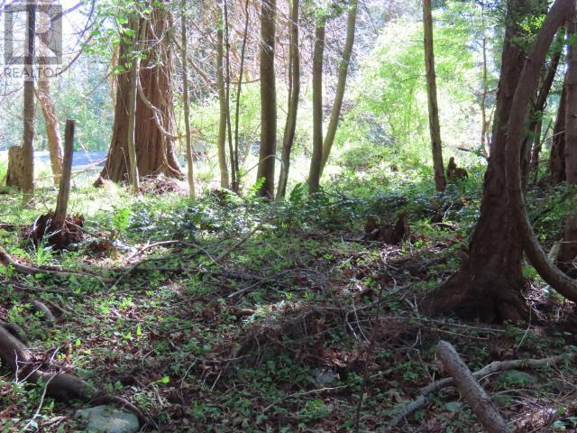
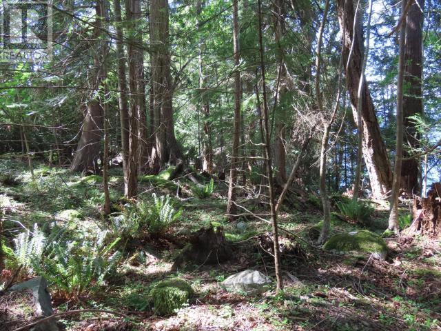
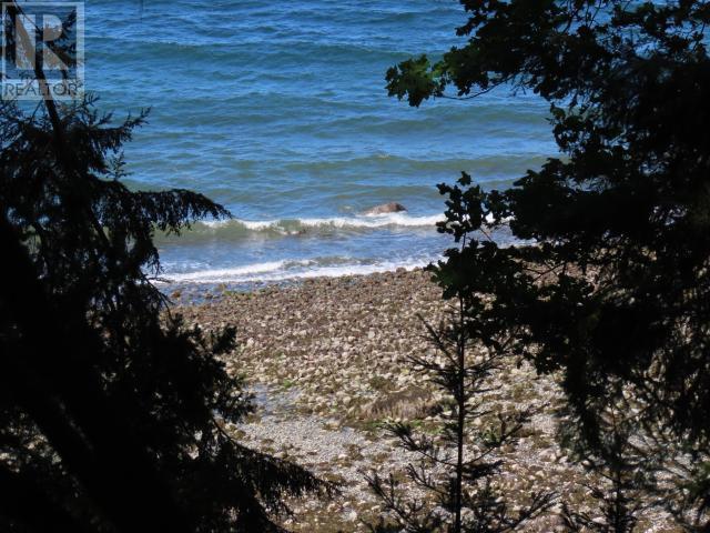
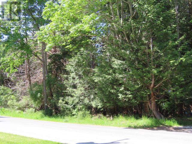
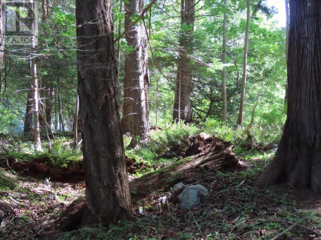
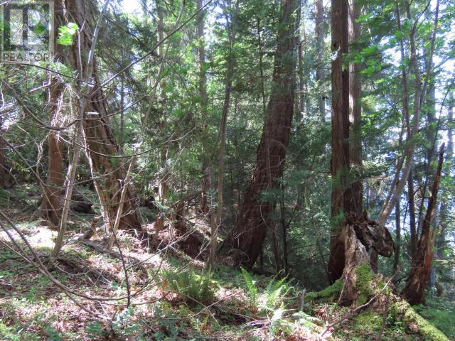
Vacant Land For Sale In Texada Island, British Columbia
$325,000None Beds
-
Details
-
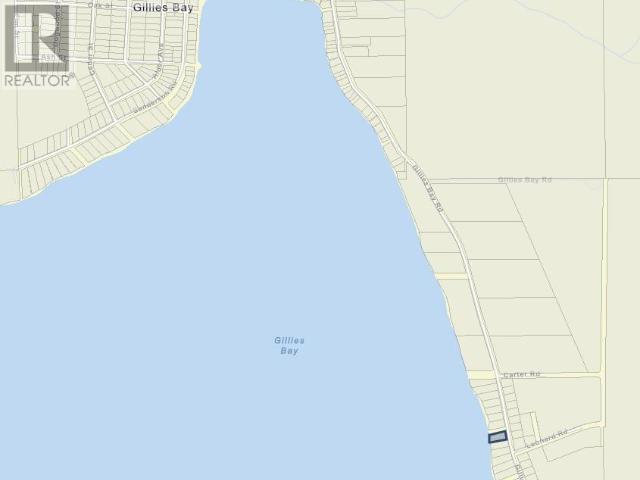
Map
-
Demographics
-
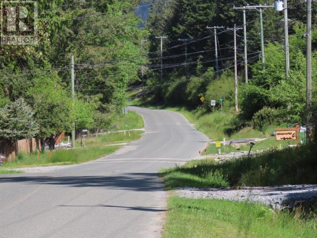
Street View
-
Get Directions


-
Advertising
Courtesy of: WESTVIEW ZAIKOW REALTY