Button CopyPathCircle CloseCircle Left ArrowArrow Down Icon GreyClosecirclecircleBurger
  • Advertising

17408 279 ROAD, Fort St. John, British Columbia, V0C 2L0

MLS® # R3037498
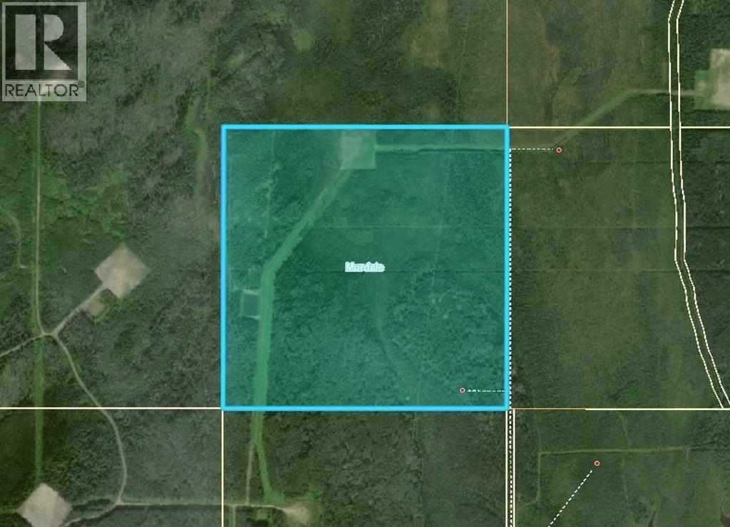
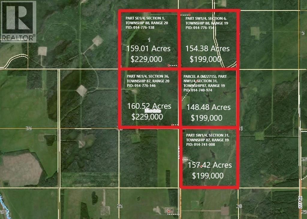
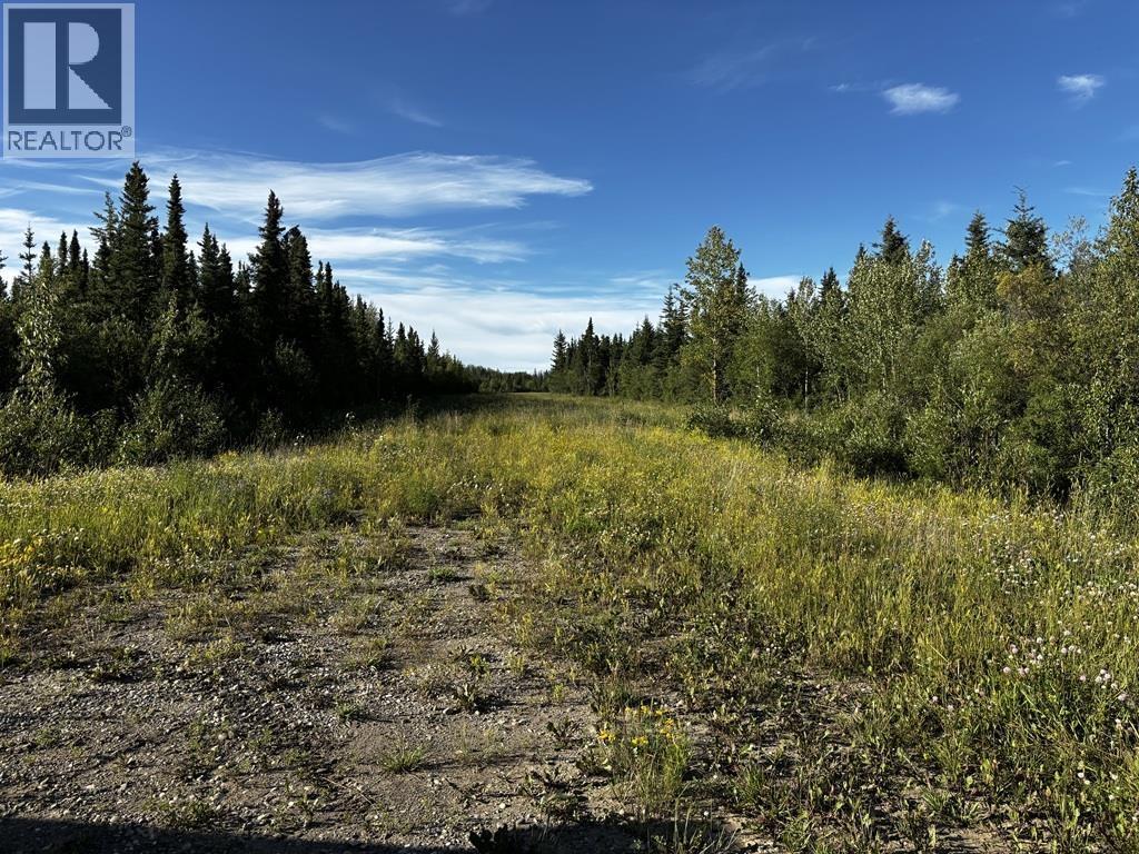
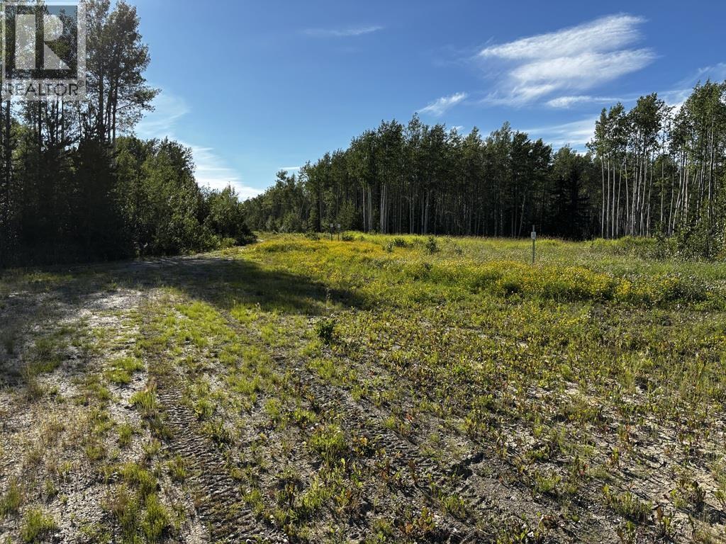
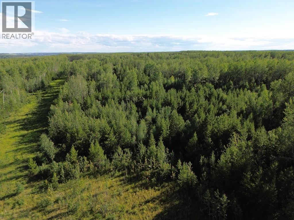
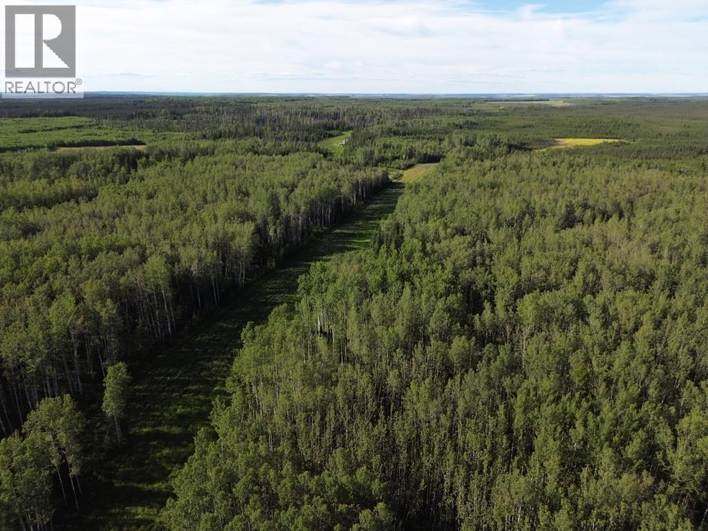
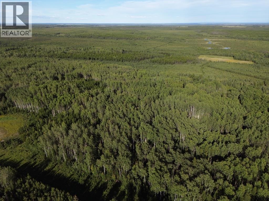
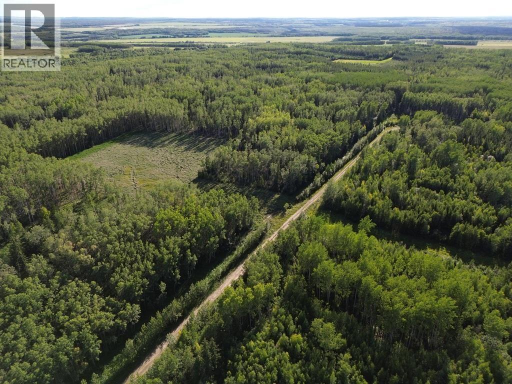
Vacant Land For Sale In Fort St. John, British Columbia
$229,000

None Beds

17408 279 Road, Fort St. John, BC
  • Advertising
17408 279 ROAD, Fort St. John, British Columbia, V0C 2L0
$229,000

Property Information:

159 acres mostly treed with access from a lease road through NE quarter of Section 36. Old lease clearing and lease road on the property. There is also the option of completing and using road 279 road allowance that would run to South East corner. (id:27)

Building Features:

  • Construction Style - Attachment: Unknown

Property Features:

  • OwnershipType: Freehold
  • Property Type: Vacant Land

Courtesy of: Century 21 Energy Realty

REALTOR.ca  

Location of 17408 279 ROAD, Fort St. John, British Columbia, V0C 2L0

Climate Risk Data

About Climate Risk: Properties are at increased risk of damage from extreme weather due to climate change.
ClimateCheck provides detailed climate risk data for properties now and up to 30 years into the future.

Projected Heat Risk: Moderate-Low

25 hot days expected in 2050

Projected Precipitation Risk: Moderate-Low

12 storms expected in 2050

Projected Heat Risk: Moderate-Low

25 hot days expected in 2050

24/100

Moderate-Low

ClimateCheck®

Current data

This property, 17408 279 ROAD , experiences 7 hot days per year at around 26.5 degrees Celsius.

Projected data

Severe heat risk is expected to increase in this area. In 2050, it is projected that there will be 25 hot days at 29.4 degrees Celsius.

Projected Avg. Temperature

Past
26.5℃
2050
29.4℃

# Hot Days Per Year

Past
7
2050
25

About Heat Risk

Heat risk is the number of extreme heat days experienced each year looking at historical conditions (1980-2005) in your area and taking the 2% of the hottest days and projecting that into the future.

Projected Precipitation Risk: Moderate-Low

12 storms expected in 2050

30/100

Moderate-Low

ClimateCheck®

Current data

This property, 17408 279 ROAD , experiences 11 significant 2-day storms per year, with about 189mm of precipitation per storm.

Projected data

Severe storms are expected to increase in this area. In 2050, it is projected that there will be 12 significant 2-day storms with 221.2mm of precipitation per year.

Precipitation Per Storm

Past
189mm
2050
221.2mm

48-Hour Storms Per Year

Past
11
2050
12

About Storm Risk

Storm risk is the number of high wind, wet or snowy events each year. Climate check looks at historical conditions (1980-2005) in your area, on the days with the top 1% of total precipitation in a year and projected to 2050.

Climate risk data is provided for informational purposes only on Royallepage.ca.
If you have questions or feedback about this data, get help at climatecheck.com.

Environmental Risks provided by ClimateCheck®

Royal LePage does not endorse nor guarantee this information. By providing this information, Royal LePage and its agents are not providing advice or guidance on climate risks. Royal LePage strongly recommends that consumers independently investigate the property’s climate risks to their own personal satisfaction.

Demographic Information of 17408 279 ROAD, Fort St. John, British Columbia, V0C 2L0

Life Stage

Older Parents, Younger Kids

Employment Type

Blue Collar/Primary

Average Household Income

$112,000.00

Average Number of Children

2.40

Household Population

Household Structure

Age of Population

Education

Education Level

No certificate/diploma/degree

32.53 %

High school certificate or equivalent

34.94 %

Apprenticeship trade certificate/diploma

13.26 %

College/non-university certificate

9.64 %

University Degree

9.64 %

Commuter

Travel To Work

By Car

83.33 %

By Public Transit

0.0 %

By Walking

0.0 %

By Bicycle

0.0 %

By Other Methods

16.67 %

Cultural Diversity

Knowledge of Official Language

Mother Tongue

Building Information

Building Type

Apartments (Low and High Rise)

Houses

100.0 %

Own Vs. Rent