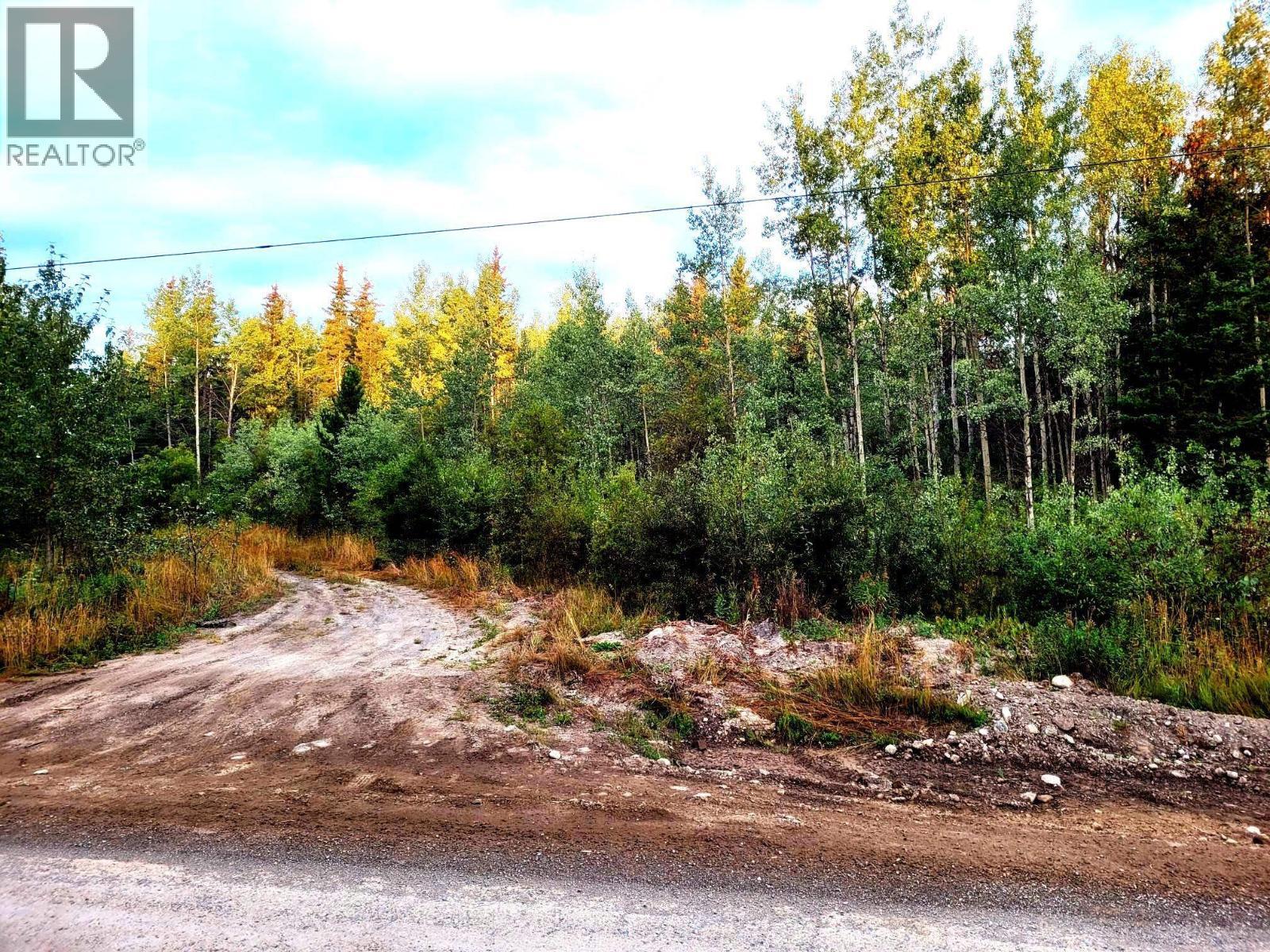
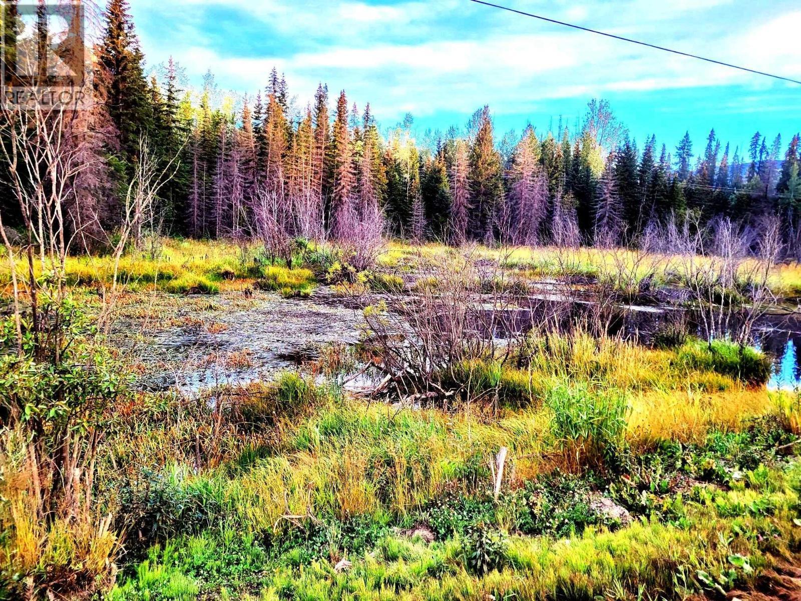
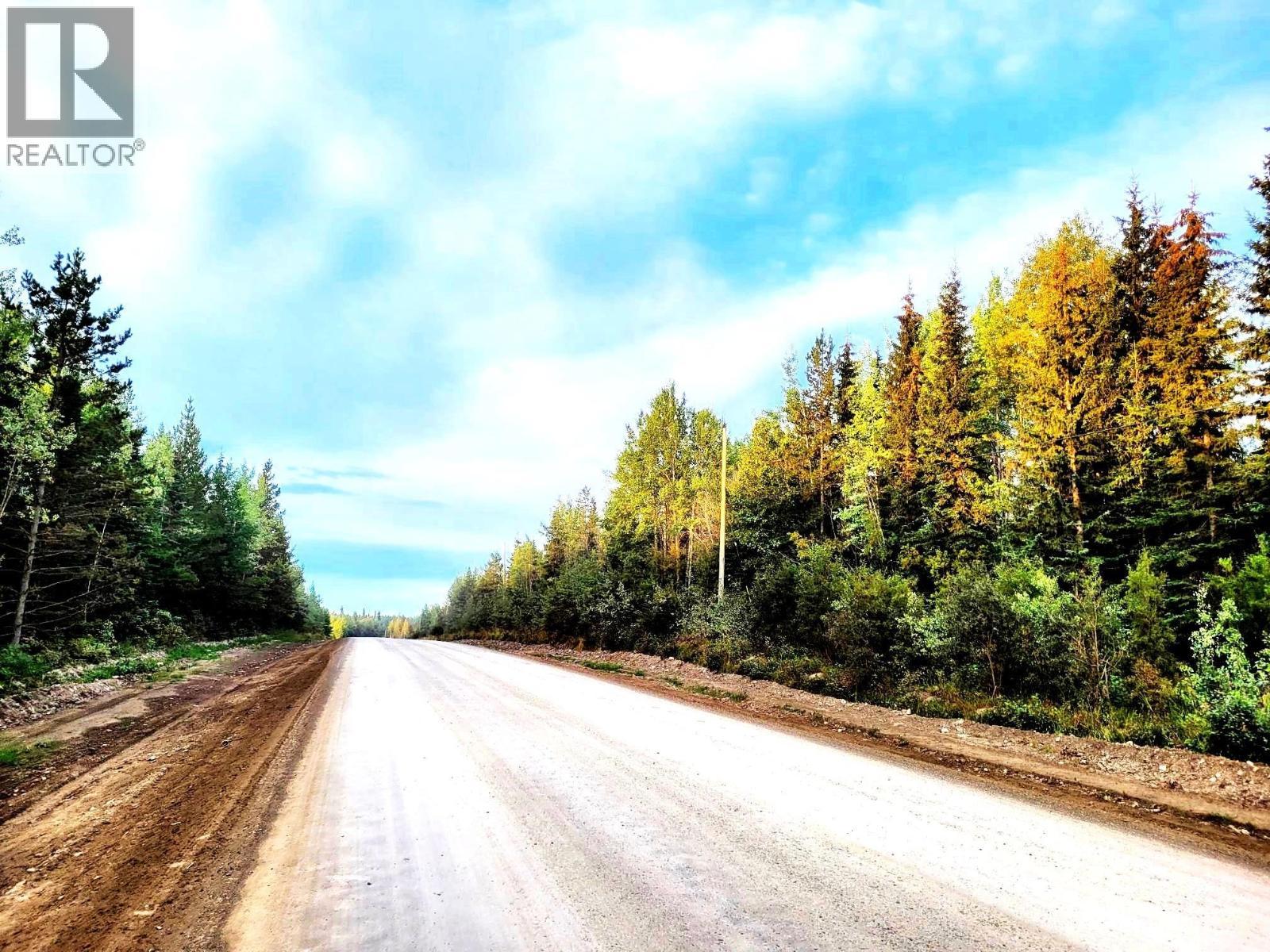
Vacant Land For Sale In Fort St. James, British Columbia
$369,000None Beds
-
Details
-
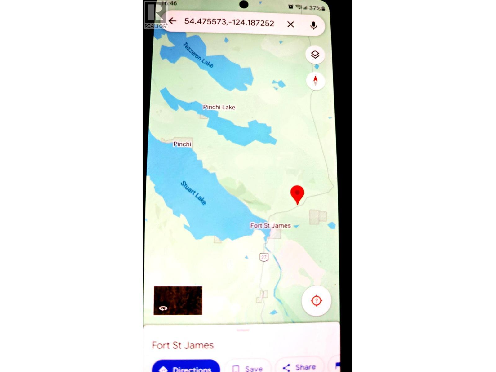
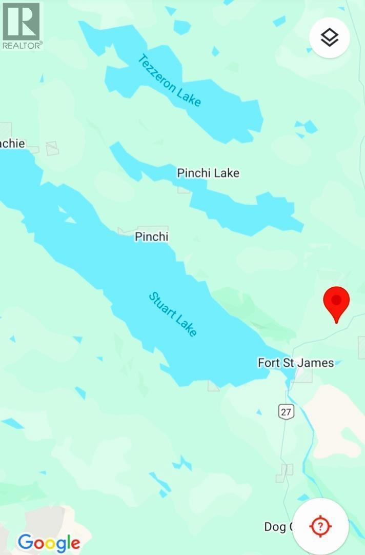
Map
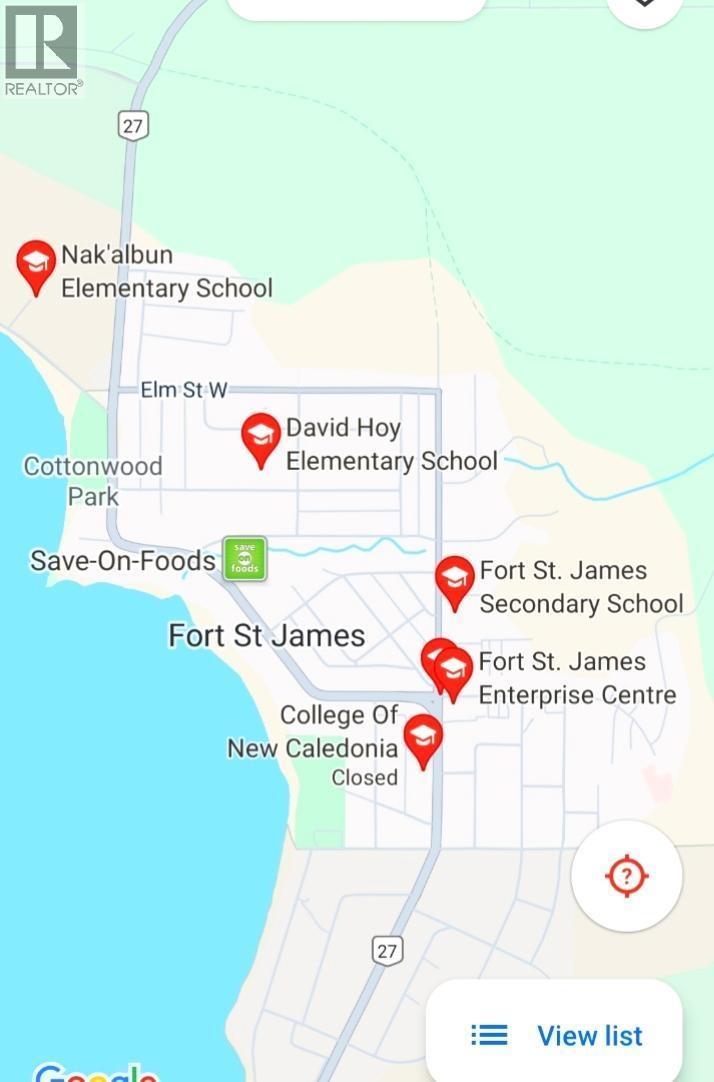
-
Demographics
-
Street View
-
Get Directions


-
Advertising
Courtesy of: eXp Realty of Canada, Inc.