Button CopyPathCircle CloseCircle Left ArrowArrow Down Icon GreyClosecirclecircleBurger
  • Advertising

DL 2035A MIDDLE RIVER, Fort St. James, British Columbia, V0J 3A1

MLS® # R2896837
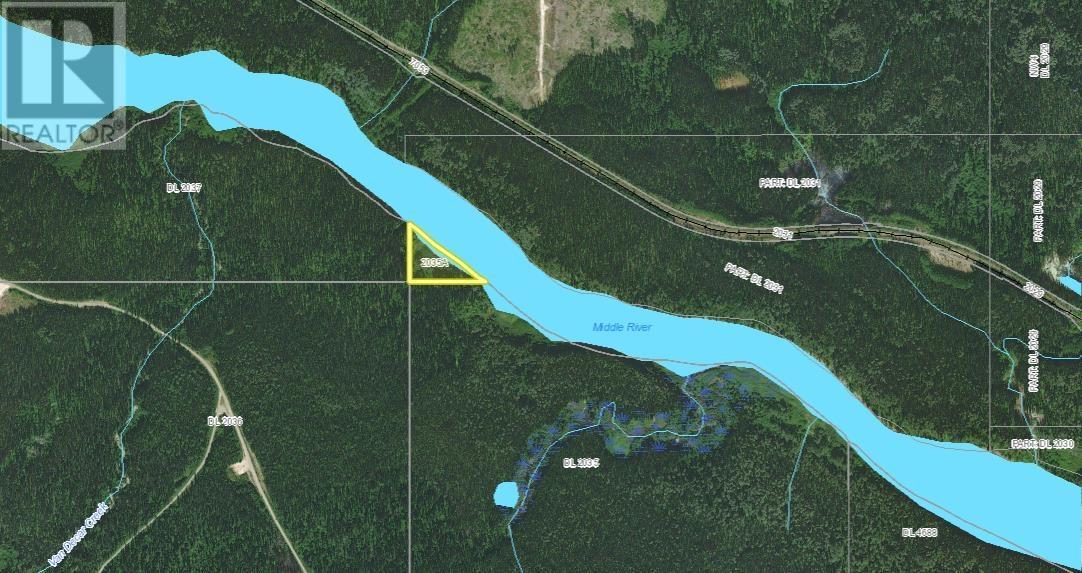
Vacant Land For Sale In Fort St. James, British Columbia
$95,000

None Beds

Dl 2035A Middle River, Fort St. James, BC
  • Advertising
DL 2035A MIDDLE RIVER, Fort St. James, British Columbia, V0J 3A1
$95,000

Property Information:

Beautiful piece of property. The only deemed land on Middle River. Water access only. Build your dream cabin and enjoy incredible fishing. (id:27)

Building Features:

  • Construction Style - Attachment: Unknown

Property Features:

  • OwnershipType: Freehold
  • Property Type: Vacant Land
  • View Type: River view

Courtesy of: Fair Realty (Burns Lake)

REALTOR.ca  

Location of DL 2035A MIDDLE RIVER, Fort St. James, British Columbia, V0J 3A1

Climate Risk Data

About Climate Risk: Properties are at increased risk of damage from extreme weather due to climate change.
ClimateCheck provides detailed climate risk data for properties now and up to 30 years into the future.

Projected Heat Risk: Moderate-Low

22 hot days expected in 2050

Projected Precipitation Risk: Moderate

15 storms expected in 2050

Projected Heat Risk: Moderate-Low

22 hot days expected in 2050

22/100

Moderate-Low

ClimateCheck®

Current data

This property, DL 2035A MIDDLE RIVER , experiences 7 hot days per year at around 26.4 degrees Celsius.

Projected data

Severe heat risk is expected to increase in this area. In 2050, it is projected that there will be 22 hot days at 29.6 degrees Celsius.

Projected Avg. Temperature

Past
26.4℃
2050
29.6℃

# Hot Days Per Year

Past
7
2050
22

About Heat Risk

Heat risk is the number of extreme heat days experienced each year looking at historical conditions (1980-2005) in your area and taking the 2% of the hottest days and projecting that into the future.

Projected Precipitation Risk: Moderate

15 storms expected in 2050

43/100

Moderate

ClimateCheck®

Current data

This property, DL 2035A MIDDLE RIVER , experiences 12 significant 2-day storms per year, with about 189.1mm of precipitation per storm.

Projected data

Severe storms are expected to increase in this area. In 2050, it is projected that there will be 15 significant 2-day storms with 232.5mm of precipitation per year.

Precipitation Per Storm

Past
189.1mm
2050
232.5mm

48-Hour Storms Per Year

Past
12
2050
15

About Storm Risk

Storm risk is the number of high wind, wet or snowy events each year. Climate check looks at historical conditions (1980-2005) in your area, on the days with the top 1% of total precipitation in a year and projected to 2050.

Climate risk data is provided for informational purposes only on Royallepage.ca.
If you have questions or feedback about this data, get help at climatecheck.com.

Environmental Risks provided by ClimateCheck®

Royal LePage does not endorse nor guarantee this information. By providing this information, Royal LePage and its agents are not providing advice or guidance on climate risks. Royal LePage strongly recommends that consumers independently investigate the property’s climate risks to their own personal satisfaction.