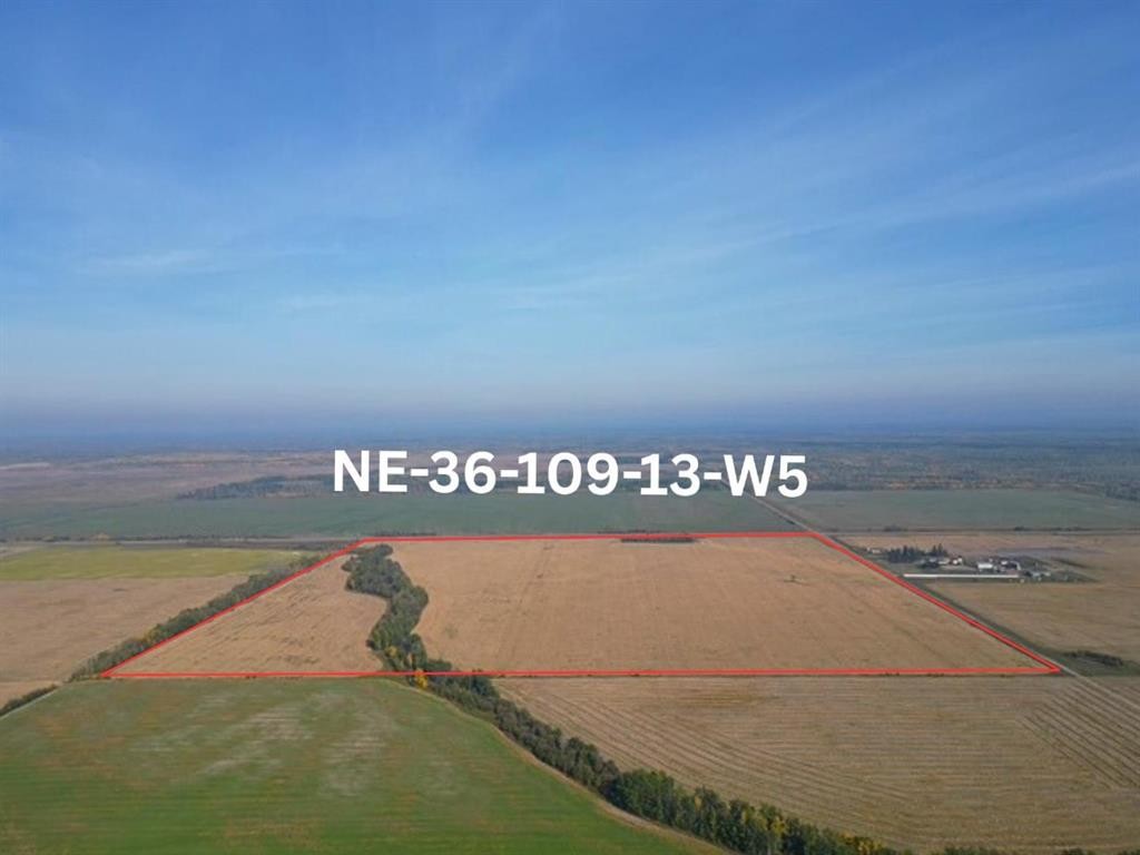
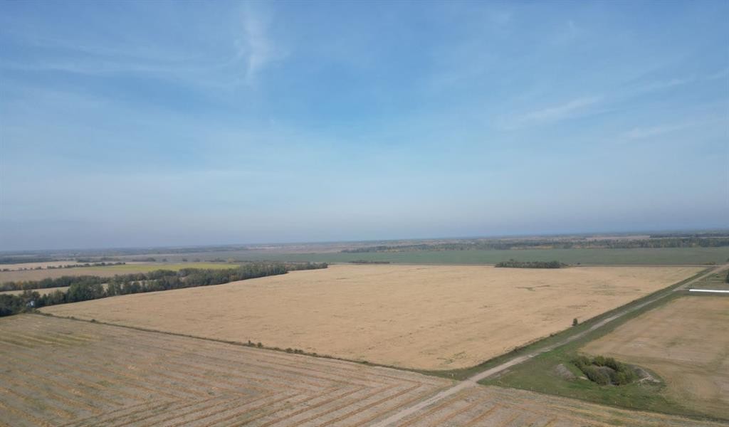
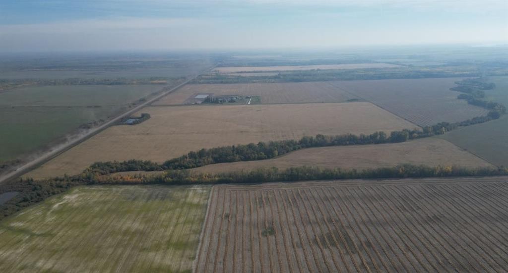
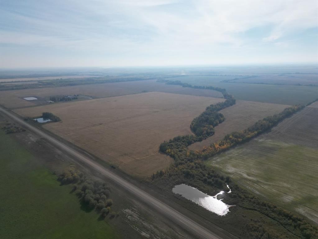
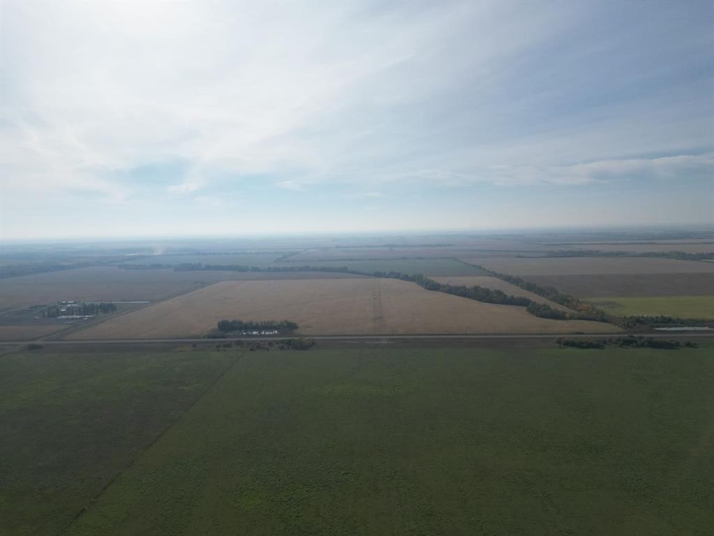
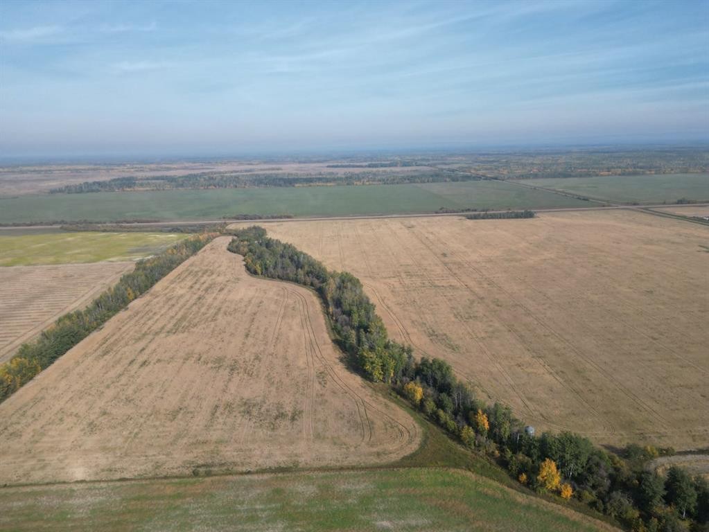
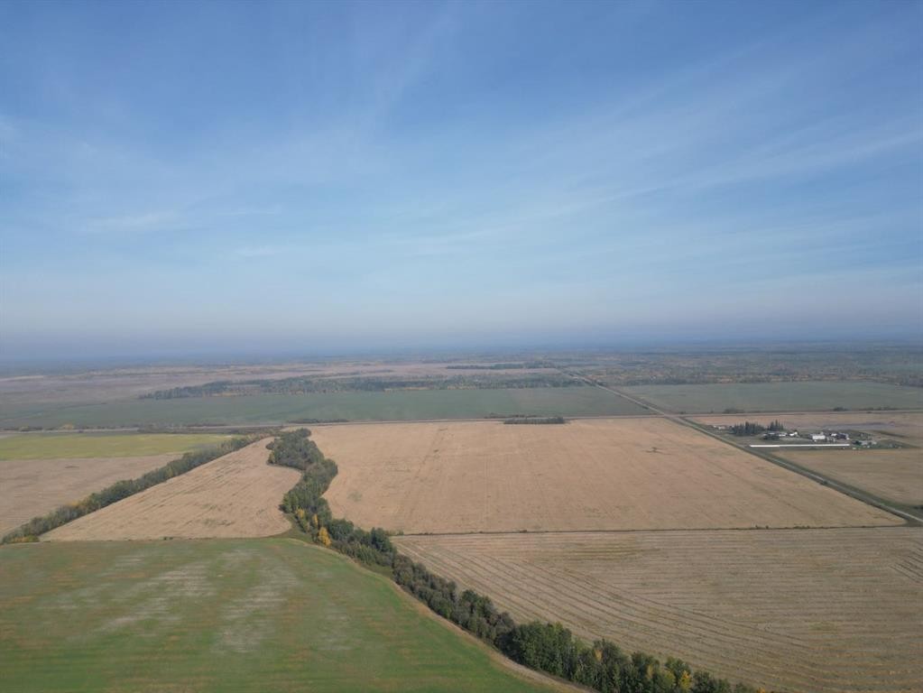
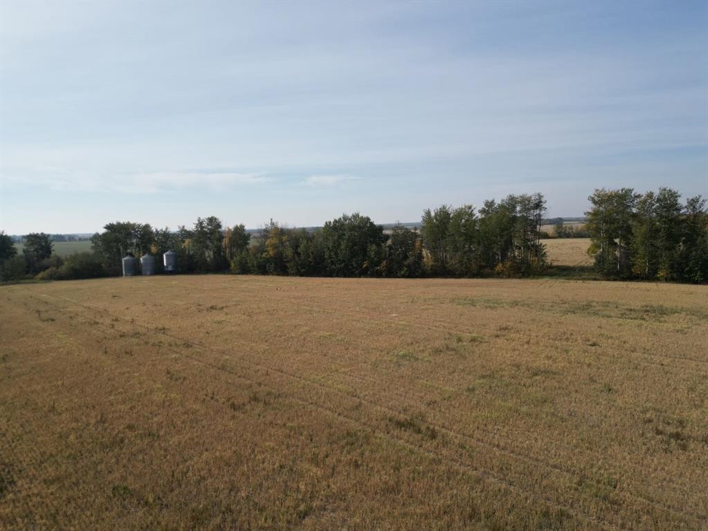
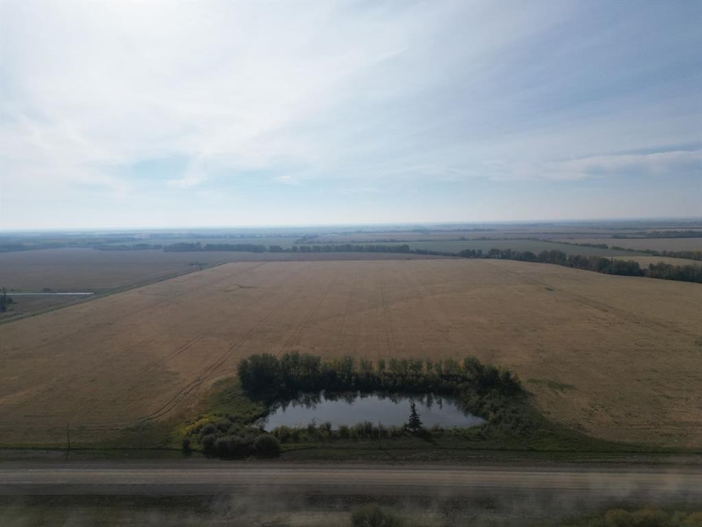
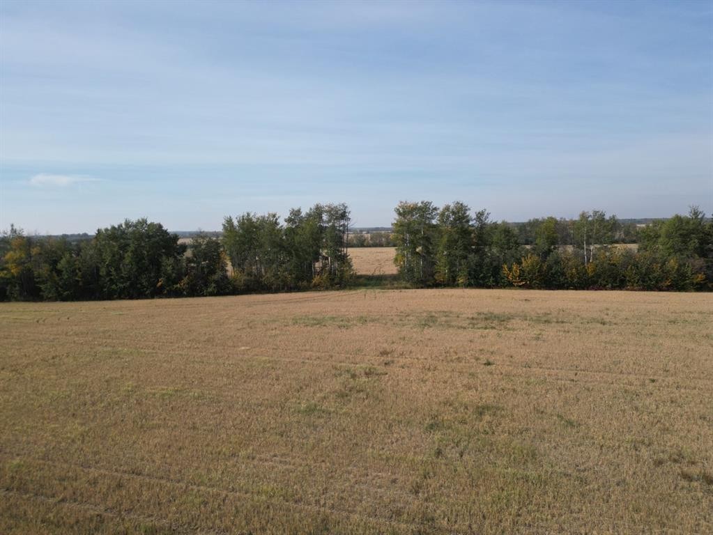
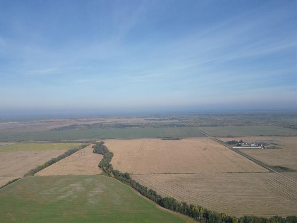
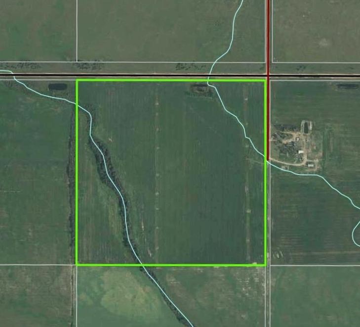
Farm For Sale In Rural Mackenzie County, Alberta
$425,000None Beds
-
Details
-
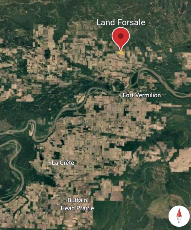
Map
-
Demographics
-
Street View
-
Get Directions


-
Advertising