Button CopyPathCircle CloseCircle Left ArrowArrow Down Icon GreyClosecirclecircleBurger
  • Advertising

Highway 103, Head Of St. Margarets Bay, NS, B3Z 1Y1

MLS® # 202224908
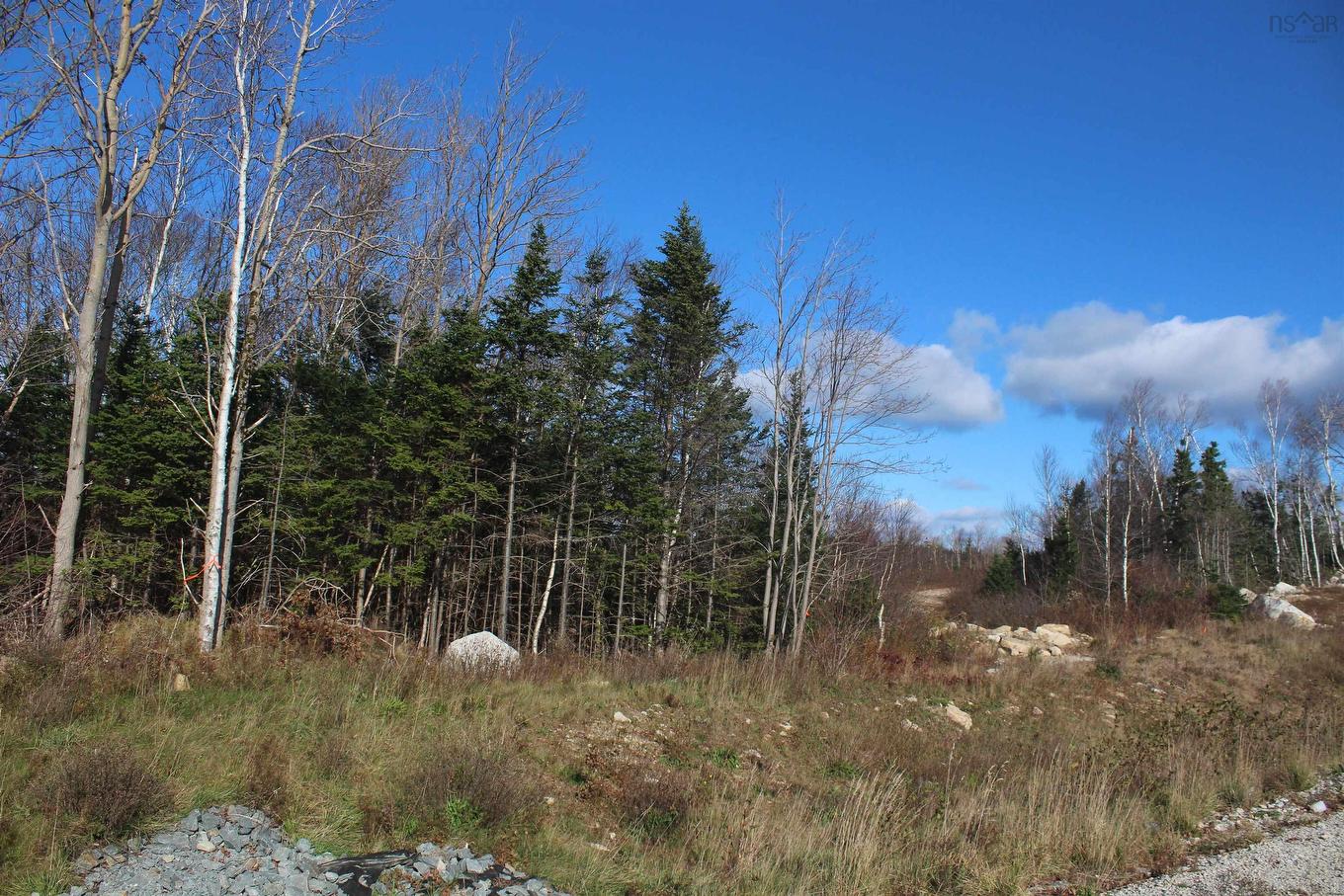
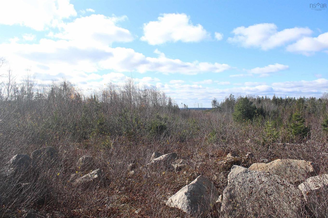
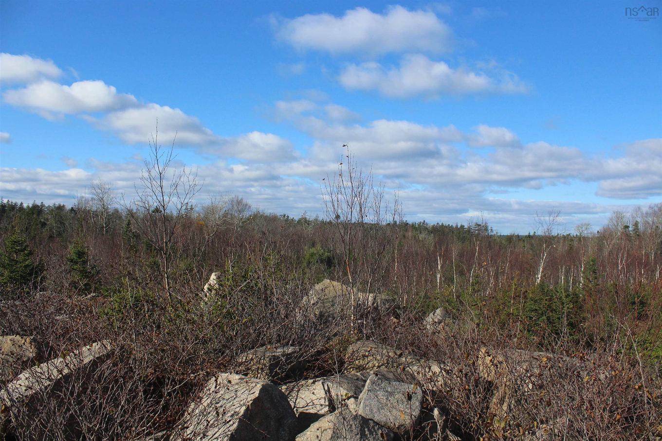
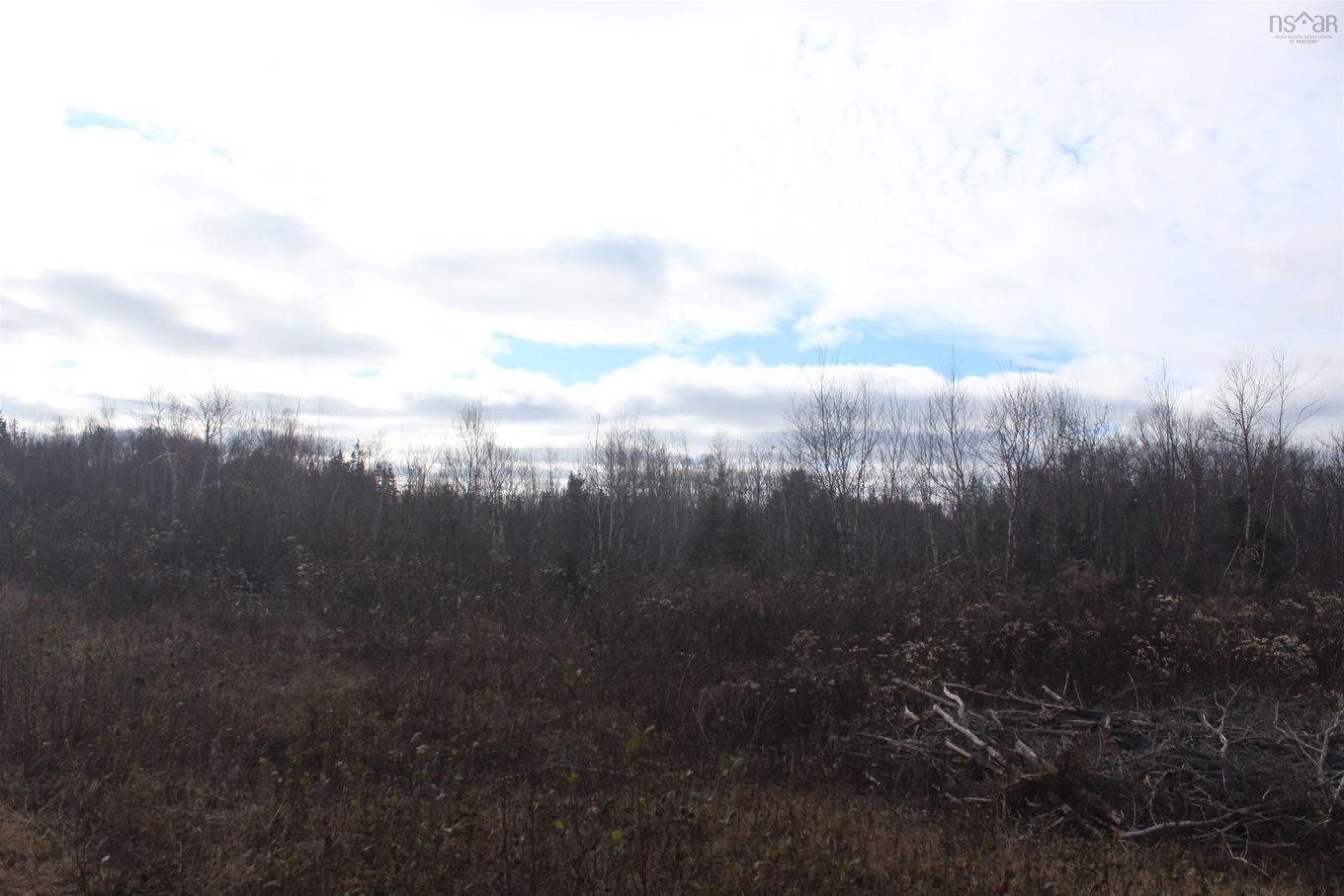
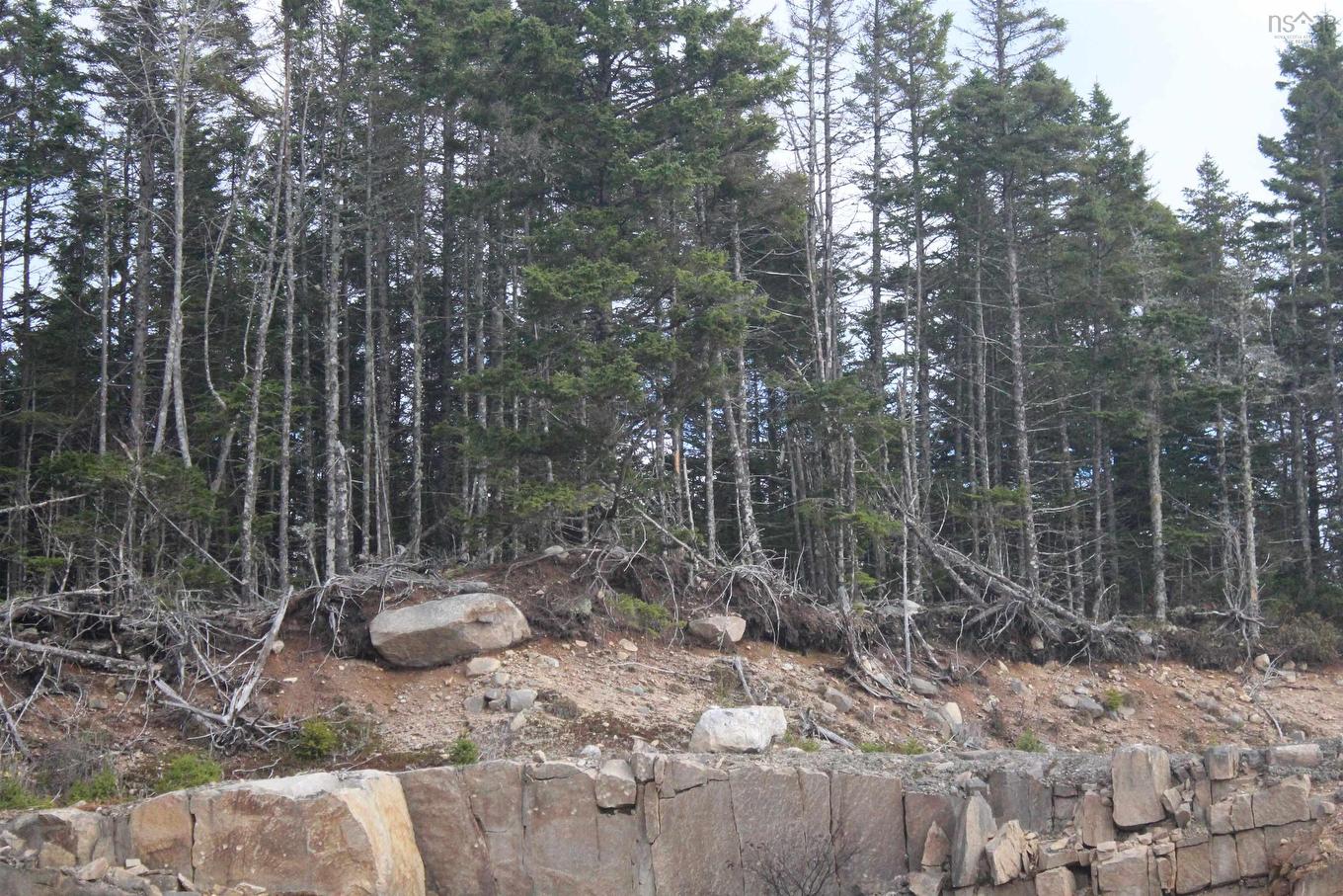
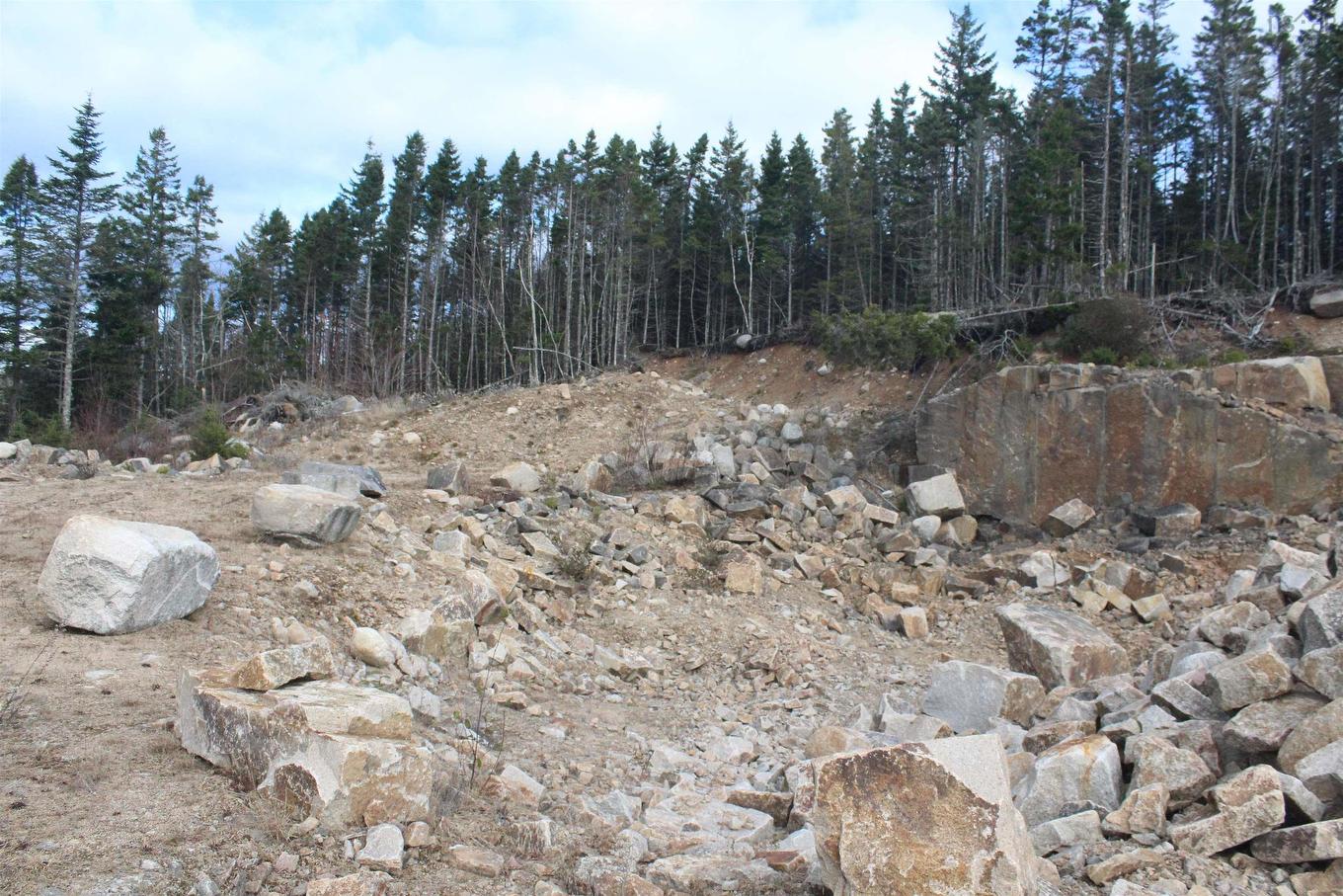
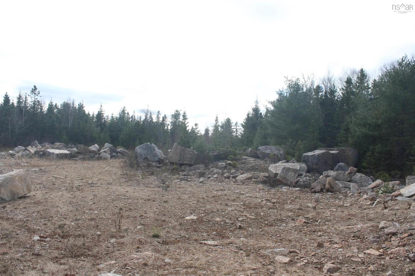
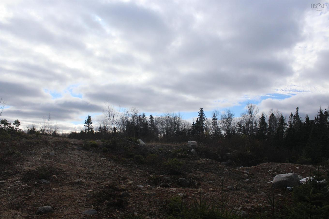
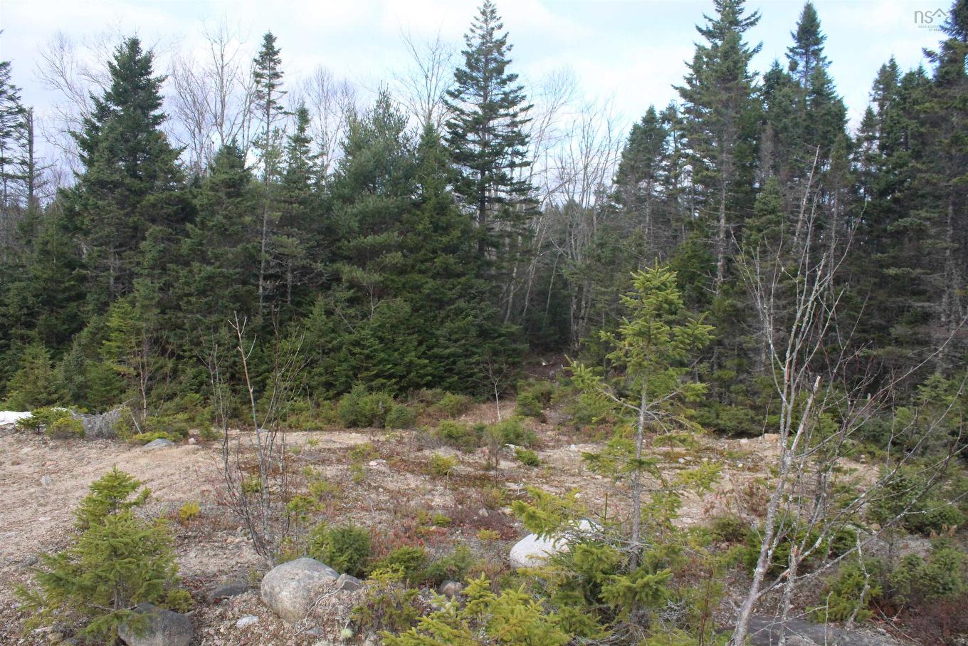
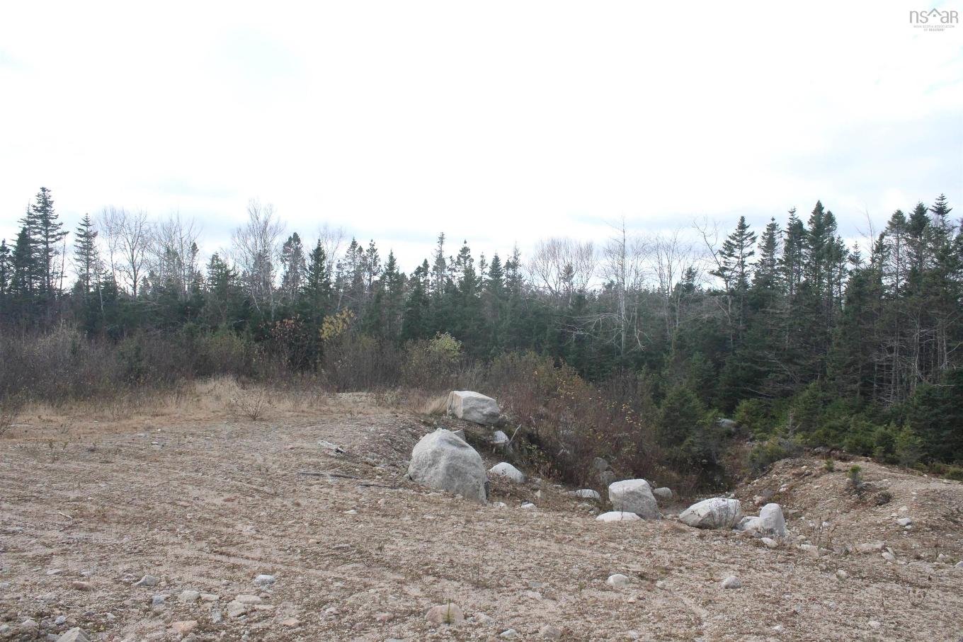
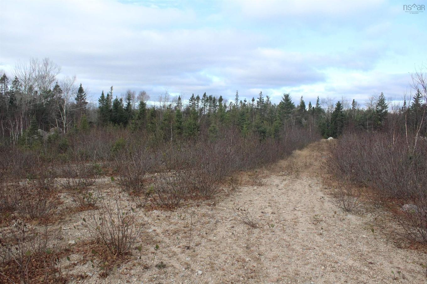
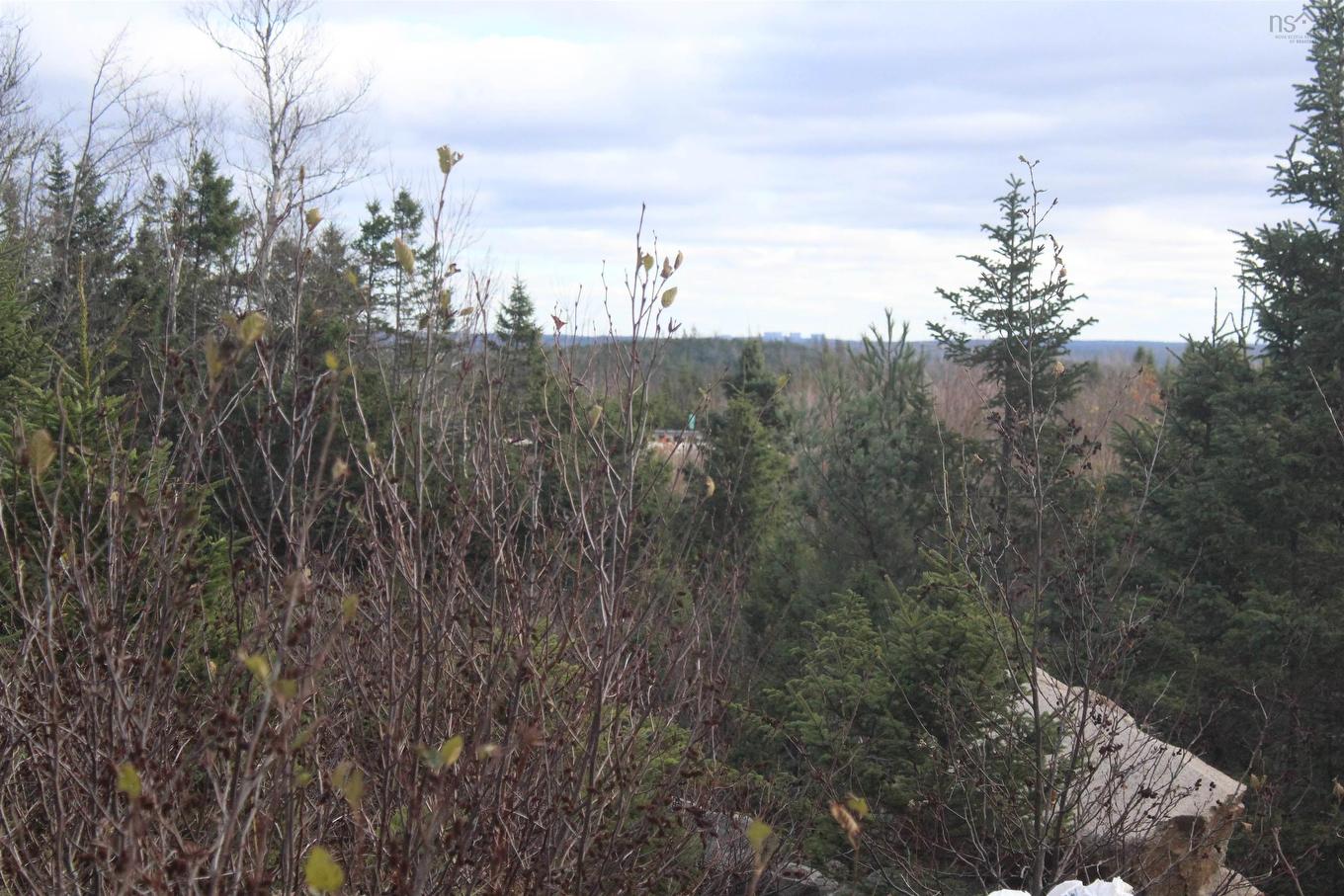
Vacant Land For Sale In Head Of St. Margarets Bay, Nova Scotia
$675,000
Highway 103, Head Of St. Margarets Bay, NS
  • Advertising
ACTIVE
Highway 103, Head Of St. Margarets Bay, NS, B3Z 1Y1
$675,000

Property Information:

Excellent development opportunity of 24-plus acre lot only min utes past exit 5 in hwy 103 just before exit 5A zoning is MR2

Property Features:

  • Documents on File: LRIS Map, Other Documents
  • Driveway/Parking: None
  • Land Features: Hardwood Bush, Not Landscaped, Softwood Bush, Wooded/Treed
  • Property Size: 10 to 49.99 Acres
  • Sewage Disposal: None
  • Title to Land: Freehold
  • Utilities: None
  • Water Source: None

Courtesy of: RE/MAX Nova

Data provided by: Nova Scotia Association of REALTORS® 68 Highfield Park Drive, Suite 112, Dartmouth, Nova Scotia B3A 0E4
All information displayed is believed to be accurate but is not guaranteed and should be independently verified. No warranties or representations are made of any kind. Copyright© 2021 All Rights Reserved

Access to Sold Data on this website may only be used by consumers that have a bona fide interest in the purchase, sale, or lease of residential real estate.

Sales/Price History

Log in or create an account to see sold and historical listings information

Location of Highway 103, Head Of St. Margarets Bay, NS, B3Z 1Y1

Climate Risk Data

About Climate Risk: Properties are at increased risk of damage from extreme weather due to climate change.
ClimateCheck provides detailed climate risk data for properties now and up to 30 years into the future.

Projected Heat Risk: Significant

26 hot days expected in 2050

Projected Storm Risk: Exteme

13 storms expected in 2050

Projected Heat Risk: Significant

26 hot days expected in 2050

22/100

Significant

ClimateCheck®

Current data

This property, Highway 103 , experiences 7 hot days per year at around 27.2 degrees Celsius.

Projected data

Severe heat risk is expected to increase in this area. In 2050, it is projected that there will be 26 hot days at 29.8 degrees Celsius.

Projected Avg. Temperature

Past
27.2℃
2050
29.8℃

# Hot Days Per Year

Past
7
2050
26

About Heat Risk

Heat risk is the number of extreme heat days experienced each year looking at historical conditions (1980-2005) in your area and taking the 2% of the hottest days and projecting that into the future.

Projected Storm Risk: Exteme

13 storms expected in 2050

93/100

Exteme

ClimateCheck®

Current data

This property, Highway 103 , experiences 11 significant 2-day storms per year, with about 514.1mm of precipitation per storm.

Projected data

Severe storms are expected to increase in this area. In 2050, it is projected that there will be 13 significant 2-day storms with 623.2mm of precipitation per year.

Precipitation Per Storm

Past
514.1mm
2050
623.2mm

48-Hour Storms Per Year

Past
11
2050
13

About Storm Risk

Storm risk is the number of high wind, wet or snowy events each year. Climate check looks at historical conditions (1980-2005) in your area, on the days with the top 1% of total precipitation in a year and projected to 2050.

Climate risk data is provided for informational purposes only on Royallepage.ca.
If you have questions or feedback about this data, get help at climatecheck.com.

Environmental Risks provided by ClimateCheck®

Royal LePage does not endorse nor guarantee this information. By providing this information, Royal LePage and its agents are not providing advice or guidance on climate risks. Royal LePage strongly recommends that consumers independently investigate the property’s climate risks to their own personal satisfaction.

Demographic Information of Highway 103, Head Of St. Margarets Bay, NS, B3Z 1Y1

Life Stage

Older Couples

Employment Type

Blue Collar/Primary

Average Household Income

$57,728.99

Average Number of Children

0.75

Household Population

Household Structure

Age of Population

Education

Education Level

No certificate/diploma/degree

44.83 %

High school certificate or equivalent

18.7 %

Apprenticeship trade certificate/diploma

19.78 %

College/non-university certificate

12.73 %

University Degree

1.41 %

Commuter

Travel To Work

By Car

92.54 %

By Public Transit

0.0 %

By Walking

0.0 %

By Bicycle

0.0 %

By Other Methods

7.46 %

Cultural Diversity

Knowledge of Official Language

Mother Tongue

Building Information

Building Type

Apartments (Low and High Rise)

2.61 %

Houses

96.58 %

Own Vs. Rent