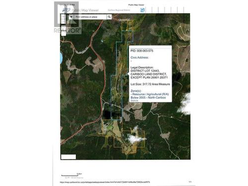
Vacant Land For Sale In Quesnel, British Columbia
$275,000-
Details
-
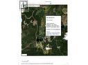
Map
-
Demographics
-
Street View
-
Get Directions


-
Advertising


